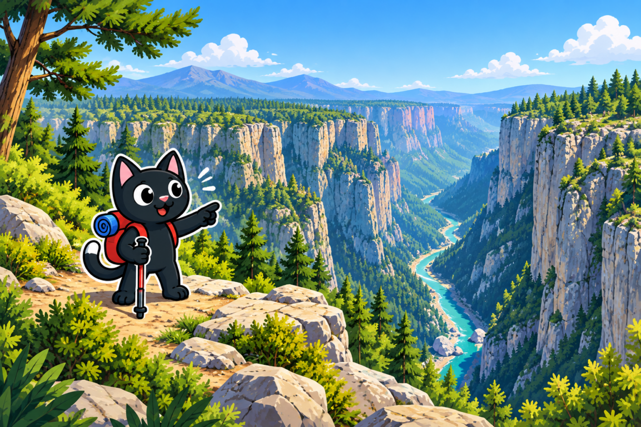
Tazı is known for the view from its high rim of the narrow ribbon of the Köprüçay River between sheer walls. We reached it on foot from Selge. This was a full hiking route rather than a short walk from the parking area, with a descent from the plateau, a crossing of difficult terrain, and another climb to the canyon.
From Selge to Tazı
The route begins among the ruins and rock formations of Selge at an elevation of roughly 950 meters. The trail then descends from the plateau. Along the way, it passes through forest and open ground, beside conglomerate walls and through narrow gaps between them. After the long descent, an almost continuous climb leads to the Tazı viewpoint.
On November 11, 2023, we covered 12 kilometers with about 690 meters of elevation gain. The total descent was greater still, at around 1,100 meters. These figures clearly show why the journey to the canyon cannot be judged by distance alone. This is a point-to-point route, and transport from the finish must be arranged in advance.


The Descent into the Canyon
The most difficult part of the hike begins after Selge, where the route loses elevation quickly. Some scree sections on the descent are genuinely dangerous: small stones slide underfoot, and keeping your balance on the steep slope is difficult. Attempting this section without hiking footwear with grippy soles and trekking poles is dangerous. After rain, slippery clay sections compound the difficulty of the scree.


An almost direct climb to the viewpoint begins after the lowest point. There are few level sections, and the trail gains elevation with barely a break. This is where the difference between an ordinary walk around Selge and the hike to Tazı becomes especially clear. This terrain calls for a steady pace: if you use too much energy on the descent, the final climb will feel harder than expected.


The View over Tazı
The canyon is approximately four kilometers long. Its rock walls rise between 300 and 400 meters above the riverbed. From the viewpoint, the river lies far below, while forest covers the upper slopes almost to the rim.
The viewing area looks broad, but there is no margin for error at the cliff edge. Do not stand on isolated ledges or approach a loose edge for a photograph. In strong winds, stop on level ground farther from the drop. Attention fades after a long hike, so the final approach requires the same caution as the descent.


What Connects Tazı and Selge
Both places lie within Köprülü Canyon National Park. The ancient city stands above, among conglomerate towers, while the Köprüçay has cut through the mountain mass to create the canyons. A single route reveals two sides of the area: the plateau with its ruins and the deep river valley.
The Saint Paul Trail also passes through Selge. Old roads, modern waymarked sections, and local paths intersect in this area. That does not mean that every route to Tazı automatically follows the official trail. Check the exact GPX track you intend to use before setting out.
Preparation
- Save the track offline: reception may disappear in the low sections and between the rocks.
- Carry water for the entire hike. Reliable sources along the route cannot be taken for granted.
- Wear hiking footwear with grippy soles and bring poles: the scree sections on the descent can be dangerous without them.
- Check the wind, rain, and thunderstorm forecast specifically for the mountain plateau. A coastal forecast does not describe conditions above.
- Agree on an exact meeting place and time at the finish.



Road access is available for a separate visit to the viewpoint. Our route from Selge offers a completely different experience: the view of Tazı becomes the conclusion to a long journey through the terrain of Köprülü.


