The western Lycian Way is well suited to a multi-day journey between villages, bays, and ancient cities. Each stage depends on the next water source, overnight stop, and possible exit to a road. If you verify these points before setting out, you will not have to spend the evening searching for a closed guesthouse.

From Patara to Kalkan
This area combines archaeological sites, rural roads, and open views of the sea. You can plan days around Gelemiş, ancient Patara, and small settlements to the east. The approaches to Kalkan include steep sections. Exposed slopes overheat in summer, making a climb in the sun especially tiring. Spring and autumn are more comfortable, provided you keep an eye on rain and wind.


From Kalkan to Kaş
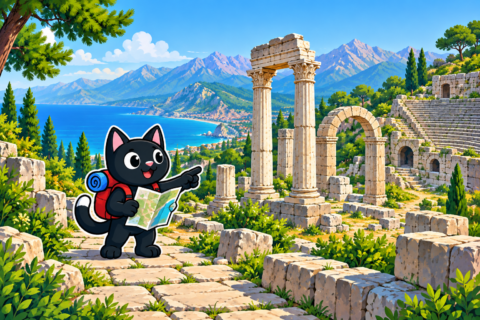
Between Kalkan and Kaş, the trail crosses plateaus and villages and sometimes moves inland from the coast. Along the way, you will see inland Lycia with its olive groves and stone houses. The elevation gain is significant, so you may have less energy at the end of a climb than the map led you to expect. The distance between reliable sources requires precise water planning. Staying in a guesthouse lightens your pack and lets you replenish supplies.



From Kaş to Üçağız via Aperlai
The route to the quiet bays and ruins of Aperlai, and then onward to Kekova, is particularly striking. Shops are scarce in this area, while some accommodation and boat services operate only seasonally. If a guesthouse is closed when you arrive in the evening, you will have to change the day’s plan and find somewhere else to sleep. Confirm your accommodation and transfer in advance. Keep an alternative way to end the stage in case of bad weather.

Where to Sleep
Guesthouses and village homes allow you to travel light. Camping offers more freedom, but you must first check the current rules. An old campsite marker on a map does not mean that you can still pitch a tent there in the evening. Seasonal bans on camping and fires in forests can affect overnight stays, while archaeological sites and private land have separate restrictions. Official information and the landowner’s permission take precedence over an old record.

Water and Food
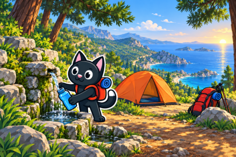
A spring marked on the map may be dry. Before each stage, ask your host and hikers with recent experience of the section about the condition of water sources. Treat water from natural sources and carry a reserve. You can restock calorie-dense food in larger villages. A small shop may be closed in the middle of the day or outside the main season, leaving you unable to buy more food on the way.


Before You Start
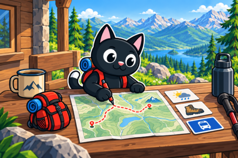
- divide the route into stages according to elevation gain, water sources, and realistic accommodation options, so that each evening’s finish matches an available place to sleep;
- download an offline track, but compare it with the waymarks and official closures;
- leave the route with someone at home, together with accommodation contacts and check-in dates, so they know where to expect you if you are delayed;
- bring a first aid kit, a flashlight, a power bank, and sun protection;
- add a reserve day for weather, fatigue, or transport problems, so that one delay does not disrupt the entire plan.




Recovery Along the Way
Inspect your feet every evening, treat the first signs of rubbing, and dry your socks. Treating the affected area now makes it less likely to interfere with walking in the morning. Eat soon after finishing a stage and replace fluids gradually. A sudden drop in pace, chills in hot weather, or confusion calls for a stop and an assessment of the person’s condition. Notice these signs before choosing the next day’s stage, while the plan can still be shortened.


After the first day, review the contents of your backpack. Unnecessary items can be left at your accommodation or safely sent ahead if such a service is available. Shared gear should be distributed fairly, while everyone keeps their own water, warm layer, and means of communication.

A brief daily conversation within the group helps prevent fatigue from accumulating unnoticed. Ask everyone about their feet, sleep, appetite, and willingness to maintain the chosen pace. A shorter stage can sometimes restore energy and leave more time to notice the landscape. Adjust accommodation or transfer arrangements early, while reception is still available. If the group decides to finish a stage sooner, the original pickup time may no longer work.
A multi-day journey reveals western Antalya gradually. Morning footprints on a dusty road, midday shade beside a cistern, and evening light over a bay become parts of one story. That sequence is difficult to feel on several quick trips.


