Mount Çalış, approximately 320 m high, rises above Kemer and offers several compact routes: an easy track for an introduction to hiking, a loop around the mountain, an ascent to the swing, and a long option descending to a small cove. The loops cover 8–9 km with 430–670 m of elevation gain. Adding the cove creates a 10–12 km route with about 700 m of elevation gain.
Getting There
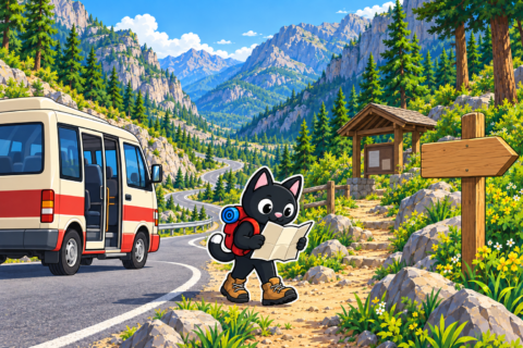
Çalış can be reached without a car. From Antalya, you can take a dolmuş toward Kemer, get off at a suitable stop, and walk to the trailhead. Before the trip, show the driver your drop-off point on a map and check the current public-transport route: the starting point depends on the hiking option you choose.

About Mount Çalış
Çalış, or Çalıştepe (Turkish: Çalıştepe), is a pine-covered coastal mountain south of central Kemer. Translated literally, çalış means “work” or “labor,” and tepe means “hill,” so Çalıştepe can be rendered approximately as “Labor Hill”; the precise origin of the place name has not been established.
The mountain lies within Beydağları Coastal National Park, and its summit overlooks Kemer, the sea, and the surrounding ridges. The mountain itself is approximately 320 m above sea level; the elevation gain on a specific route may be greater because of descents and repeated ascents.
The remains of a fortification with Hellenistic-period masonry survive at the summit. Its ancient name has not been firmly established, so archaeological descriptions use the modern name, Çalıştepe Fortress. The ruins are part of a protected archaeological zone: stones and fragments of masonry must be left in place.
An Easy Track for a First Hike
One of the tracks on Çalış follows a technically straightforward trail. It is suitable for a first mountain outing: the route is close to Kemer, the start is easy to reach, and there are no sections requiring special skills. The ascent still involves physical effort, so it is best to maintain a steady pace and conserve energy for the return.
For a first visit, choose the short option and compare it with the GPX track in advance. Elevation gain indicates the effort more accurately here than a small difference in distance.

A Loop around the Mountain
The circular route goes around Çalış and returns to the starting area. It offers views of Kemer, the sea, and neighboring mountains along the way. The short loops cover 8–9 km, while elevation gain ranges from 430 to 670 m depending on the chosen line.
Ascent to the Summit
A separate route climbs to the summit of Çalış. There is a swing at the top where you can stop for a photograph with the coast in the background. At junctions, it is important to stay on your chosen track: several routes intersect, and an accidental turn can noticeably change the distance and elevation gain.

Descending to the Small Cove
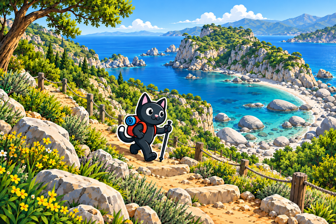
The long version links Çalış with a small cove beside unusual white rocks. It covers 10–12 km with approximately 700 m of elevation gain and adds a coastal section to the mountain views.
The descent to the cove is difficult and loose. It is easy to lose your footing on loose stones, so place each foot carefully, shorten your stride, and do not rush. Trekking poles help you keep your balance if you are accustomed to using them. It is best to leave this section for a separate outing after becoming familiar with the easy route.
What You Will See
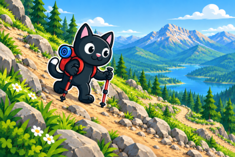
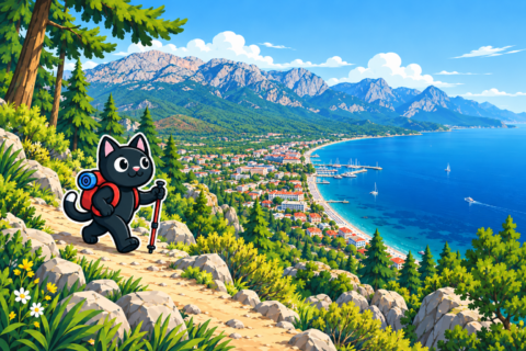
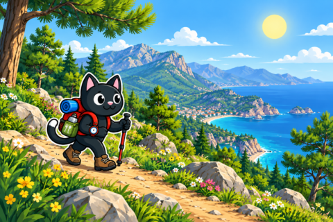
The slopes of Çalış overlook Kemer, the sea, and the coastline. As you gain elevation, the town is left below, and pine-covered sections give way to exposed slopes. Each option has its own main attraction: panoramas on the loop, the swing on the mountain, or white rocks beside the water.
An offline map helps you choose the correct junction among the alternatives. If the markings disappear, it is best to return to the last clear point. Trying to find a direct descent by eye can lead to a section without a stable trail.
Preparation and Season
This low-elevation route is suitable for the cooler season. In hot weather, the exposed slopes require an early start and extra water. Check the forecast for the entire day, as the wind at the top feels stronger than it does in Kemer.
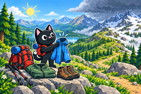
Pack water, a snack, a flashlight, a first-aid kit, and an extra layer. For the option to the cove, it is useful to understand the route from the finish in advance. If the hike continues after swimming, pack wet items separately from dry clothing.
Our Hikes
- October 20, 2022: the first Kemer — Çalış loop, 8 km with 530 m of elevation gain.
- February 11 and April 29, 2023: repeat outings on Çalış, 12 and 9 km long.
- October 28, 2023: the option with Stone Bay, 10 km with 730 m of elevation gain.
- July 28 and August 25, 2024: summer routes, 8 and 12 km long.
- October 26, 2025: a new Kemer — Çalış outing.
We have hiked Çalış in autumn, winter, spring, and summer. According to our tracks, the loops cover 8–9 km with 430–670 m of elevation gain, while the versions with the cove cover 10–12 km with about 700 m of elevation gain. For a first visit, it is more convenient to choose the easy track or a short loop and leave the loose descent to the coast for a later outing.


