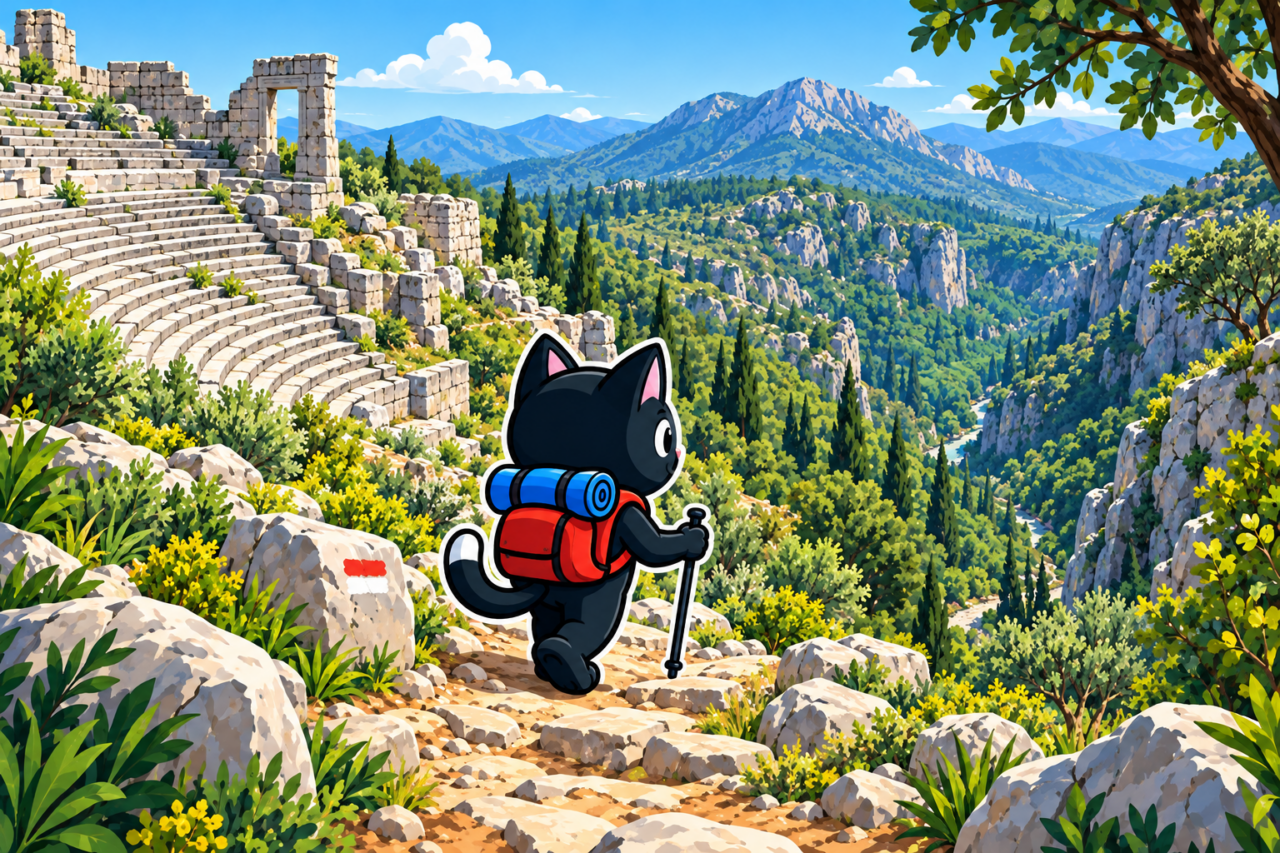
The ancient city of Termessos (Turkish: Termessos) is located in the mountains northwest of Antalya, within a national park. You can simply come here and explore the ruins without setting out on a long hike. The city’s main landmark is its theater at an elevation of approximately 1,000 meters. From its seats, you can enjoy one of the most beautiful views among the ancient cities around Antalya.
History of Termessos
Termessos emerged in the mountainous part of Pisidia, on the slopes of ancient Solymos, today’s Mount Güllük. The city’s foundation is associated with the Solymi, the ancient inhabitants of this part of Anatolia. The natural terrain made Termessos difficult to reach and well defended.
Alexander the Great besieged the city in 333 BC, but its residents managed to hold Termessos. The surviving structures include city walls, an agora, a gymnasium, a theater, an odeon, temples, tombs, and cisterns. Güllük Dağı–Termessos National Park has been included by Turkey on UNESCO’s Tentative World Heritage List as a mixed natural and cultural site.
A Short Tour of the Ruins
The short route from the parking area is 6 km long, with 150 m of elevation gain and a high point of 1,050 m. This option focuses on the ancient city: you can walk between the structures at an unhurried pace, reach the theater, and return to the car. This is enough for a first introduction to Termessos.
The site is large, and signs are not found everywhere. Before climbing, it is useful to know the direction of the theater and save a map for offline use. Take the wrong path at a junction, and the short route will quickly become longer than planned.

Descent into the Valley
From the ancient city, you can continue along a mountain trail and descend into the valley. The long track is 22 km long with 990 m of elevation gain, and its high point is 1,050 m. This is a point-to-point route for a full day, not an extension of an ordinary tour of the ruins.

The trail may be overgrown with shrubs on the descent, which can greatly reduce your speed. An old track must not be treated as proof that the trail is currently clear and easy to follow. You need an early start and a large time buffer.

At the bottom, the route crosses a canyon and then reaches a mountain road. A car can reach this point, so transport and a meeting place must be arranged in advance. Returning to the Termessos parking area is not part of this option.
What to See in the City
The trail leads to the remains of walls, cisterns, and the theater facing the mountain peaks. The theater stands at an elevation of approximately 1,000 meters, and the view from its seating is the reason to climb to the city. The ruins gradually appear among the trees, so exploring them is combined with a forest ascent. Stone fragments must be left in place, and the national park rules must be followed.

Stone slabs become slippery after rain. Closed-toe footwear with good traction provides better stability on the ascent and steps. If the surface is wet, carry out a risk assessment and slow down.

Water, Weather, and Preparation
There are no water sources on the route, so you need to bring your entire supply. For the long option, calculate enough for the full day and add food, a first-aid kit, and a flashlight. Water is also necessary for the short version because the ascent and exploration take place at an elevation of approximately 1,000 m.
Before the trip, check the forecast, the national park’s opening hours, the condition of the access road, and restrictions. Conditions in the mountains may differ from those in Antalya by the sea. If the slabs are wet after rain, you will need to walk more slowly and include this pace in your plan.


How to Get There
The Termessos parking area is accessible by car. Before setting out, check the road and access to the national park. General advice on traveling to the trailhead will help you account for the journey to the trail, parking, and return.

Our Hikes
May 9, 2023. We walked through Termessos, descended into the valley, crossed the canyon, and reached the mountain road: 22 km, 990 m of elevation gain, and a high point of 1,050 m. The trail was overgrown with shrubs, so the descent took us a very long time. April 13, 2025. We followed the short route through the ancient city: 6 km, 150 m uphill, and the same high point.
The two tracks describe different objectives and levels of effort. Before repeating them, choose a specific option and do not combine the distance of the short tour with the continuation to the canyon. Your calculation for the entire day depends on this choice.