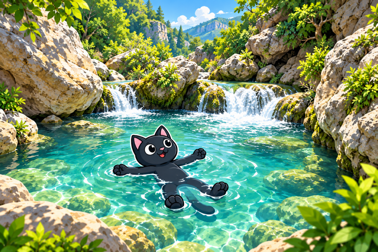
Kapuz (Turkish: Kapuz Kanyonu) lies beside Güver Canyon, and we call its water-filled rock pools the mountain jacuzzi. You can take a short route here for a swim or choose a long canyon hike. Our tracks range from 5.2 to 16.9 kilometers.
Short Routes to the Water
The easiest saved option is 5.2 kilometers with 150 meters of ascent and a high point of 180 meters. Other outings to the jacuzzi cover 5–6 kilometers and gain about 430 meters. The difference is considerable: the same distance can be a relaxed walk or a substantial climb, so compare the track figures in advance.

The short version is convenient when the day is centered on the water and swimming. In August 2024, we added some exploration and covered 14 kilometers with 350 meters of ascent. A route like this requires an estimate of walking time, since a stop at the pools also takes part of the day.
Long Combinations
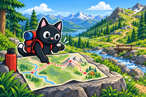
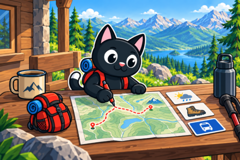
Our Kapuz route on August 13, 2023, covered 14 kilometers, gained 615 meters, and reached 175 meters. An even longer route combines Güver and Kapuz: 16.9 kilometers, 650 meters of ascent, and a high point of 330 meters. Check the route line and save the GPX track offline in advance.
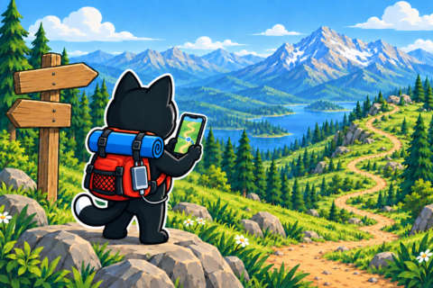
On the long option, the canyons become parts of a full mountain day. A stop by the water is pleasant, but the route continues afterward. If the group is delayed, a prearranged turnaround time will prevent a rushed finish.
Swimming and Conditions
Our swimming outings took place from May to August. Our records confirm water in the rock pools on specific dates, but assess its level and condition again on the day of your visit. Check the forecast and season; rainfall can change conditions in the canyon.
Bring clothes to change into after swimming and protect your belongings from getting wet. Do not include water from the pools in your drinking supply: our records contain no confirmed information that it is safe. Calculate your water for the route before starting.

Difficulty and Preparation
The 5.2-kilometer version with 150 meters of ascent is an easy day outing. Six kilometers with 430 meters of ascent already requires familiarity with climbing, while the 14–17-kilometer combinations suit prepared hikers. A steady pace with short stops helps preserve energy after swimming.

Basic gear includes a phone with a map, food, water, a first aid kit, and a flashlight. Footwear with grippy soles is especially useful on rocks beside the water. Slow down before the group tires if the surface becomes slippery.
Our Hikes
May 21, 2023. Güver and Kapuz: 16.9 kilometers, 650 meters of ascent, high point 330 meters. August 13, 2023. Kapuz and the jacuzzi: 14 kilometers, 615 meters of ascent, high point 175 meters.
September 3, 2023. Picnic at the mountain jacuzzi: 5 kilometers, 430 meters of ascent. We then walked 5.2 kilometers with 150 meters of ascent on June 22, 2024, and took a 14-kilometer exploration route on August 17, 2024.
May 25 and June 29, 2025. Both outings followed the 6-kilometer option, with 430 meters of ascent and a high point of 176 meters. Repeated figures are useful for comparison, but every start still requires an on-site assessment of conditions.