Ancient Neapolis (Turkish: Neapolis) lies in the mountains above Lake Doyran. At the top, you can see tombs, remains of buildings, and a panorama of the Antalya valley. The climb is significant and difficult in places, but most people of average fitness can manage it at a steady pace.

Where to Start
We started from Lake Doyran and visited the ruined monastery above the lake on the way. This long but logical option combines the lake, monastery, and ancient city in one day.
If Neapolis is your only objective, you can drive closer to the start of the climb. This shortens the walk and leaves more time for the ruins. Mark a safe place for the car on the map and include it in your travel plan.



About Neapolis
Neapolis was founded in the Hellenistic period on Mount Keldağ, where the ancient regions of Lycia, Pisidia, and Pamphylia met. Inscriptions show that the settlement belonged to the territory of Termessos and had the status of a peripolion, a dependent fortified outpost. It combined the character of a small rural settlement with that of a military post linking Termessos’s lands to the coast.
Ancient authors did not mention Neapolis; archaeologists established its name and connection with Termessos from inscriptions found here. Research conducted from 1997 to 2004 mainly documented Roman and Eastern Roman structures: houses, a necropolis, temples, public buildings, and a basilica. There have been neither full-scale excavations nor a prepared museum route, so the ancient city still feels like part of the mountain landscape.
What You Will See
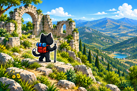
Tombs, stonework, and remains of buildings survive at Neapolis. These are mountain ruins rather than a large museum complex with a set visitor route. Leave stones and masonry fragments in place and follow the visitor rules.

The view is another reason to climb. The Antalya valley opens below the ruins, and on a clear day it is worth setting aside time for the panorama.
Difficulty of the Climb
The climb to Neapolis is not an easy walk. Keep a steady pace, avoid gaining elevation too quickly, and take short breaks. With average fitness and enough time, most people can manage the route, although a gentler option is better for a first hike.
We have two different tracks. The first is 16 kilometers long with 330 meters of ascent and a high point of 566 meters. The second is shorter at 12.8 kilometers, but gains 720 meters and reaches 496 meters. Distance alone does not show the full effort: compare the distance and ascent before choosing.



Navigation and Preparation
Download the GPX track and mark your chosen starting point. Take particular care not to confuse the short option with the full route from the lake, or you may use one track’s figures to plan the other.

We have no confirmed water sources along the way. Bring water for the entire day, food, a first aid kit, a flashlight, and a charged phone. Calculate the reserve at home, especially for the full route from Doyran.


Our Hikes
December 24, 2023. 16 kilometers, 330 meters of ascent, and a high point of 566 meters. October 27, 2024. 12.8 kilometers, 720 meters of ascent, and a high point of 496 meters.
We hiked in late October and late December. These dates describe only our outings, so check the local forecast before a new trip.