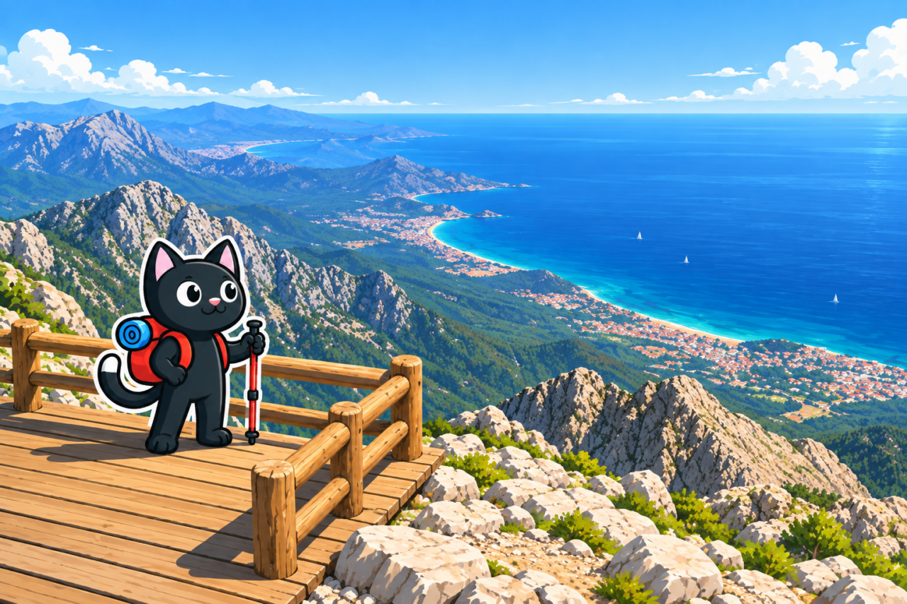
Tahtalı (Turkish: Tahtalı Dağı, literally “Plank Mountain”) rises to 2,365 m above the Kemer coast and is one of the highest points along the coastline. Two hiking routes lead to the summit: the main marked route from Beycik in the south and the northern approach from Yayla Kuzdere. The Olympos Teleferik cable car also runs to the top.
Getting There
The southern route starts in the upper part of Beycik. The northern approach begins south of Yayla Kuzdere; a mountain road allows you to drive almost as far as the open, treeless section of the slope. Before setting out, check the condition of the access road and choose a safe place to leave the car.
The lower cable-car station has its own road access. If you plan to descend in a cabin, check the timetable and tickets in advance, as well as how you will travel onward from the lower station.
Ascent Options
The Southern Route from Beycik
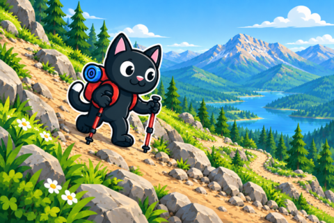
The main hiking option begins in Beycik and follows a marked mountain trail. The route is physically demanding: almost the entire way involves continuous elevation gain, with no long, level sections for recovery.
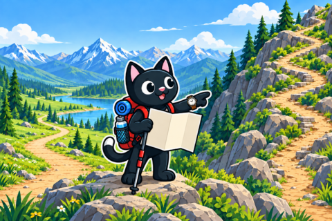
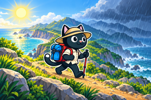
The forest ends higher up, and the final part of the ascent crosses an exposed, rocky slope. There is almost no shade here, making sunburn easy. A hat, lightweight clothing that covers the skin, sunglasses, and sunscreen are necessary even in a cool wind.
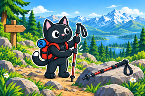
From the summit, you can descend by cable car or return on foot to complete a loop in Beycik. The steep mountain trail is hard on tired legs during the descent. You need hiking boots with grippy soles and trekking poles that you know how to use.
The Northern Approach from Yayla Kuzdere
The second option begins south of Yayla Kuzdere. A mountain road allows you to drive almost to the bare part of the slope and begin the walking section well above the forest zone. Check the precise starting point and road access before the trip, and save the route offline.
After the drive up, the altitude, exposed terrain, and sudden weather changes near the summit still remain. The northern option should be planned as a mountain route in its own right, with an early start and spare time for the return.
How the Landscape Changes
Lower down, the trail passes among pines and cedars. Higher up, the forest thins, giving way to scree and open fields of rock where the wind feels stronger. In a single ascent you cross several areas with very different character: the green slope remains below, while the final section crosses bare rock.
A steady pace with short breaks helps conserve energy. On the long descent, tired legs control each step less effectively, so you need energy in reserve all the way to the finish. If your pace has already slowed noticeably on the ascent, recalculate your turnaround time before reaching the exposed slope.
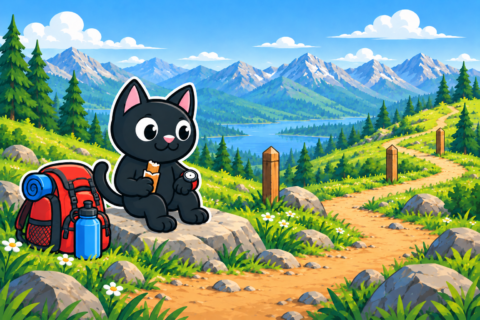
Weather and Equipment
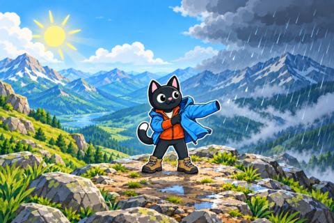
The summit is colder and windier than the coast. Even when it is warm by the sea, winter conditions may persist at the top, and clouds can obscure landmarks. It is best to cancel the ascent in strong wind, a thunderstorm, or dense fog.
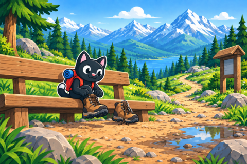
- Hiking footwear with grippy soles is needed on rock and scree.
- Trekking poles help control your steps on the long descent.
- Sun protection is essential on the exposed upper part of the route.
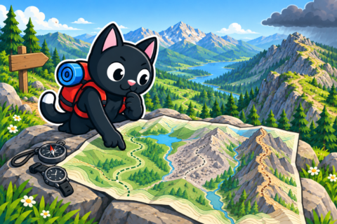
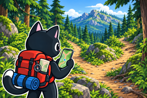
- An offline map and backup power will keep navigation available throughout the day.
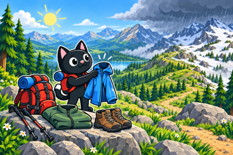
- A warm layer and windproof jacket will be useful after leaving the forest.
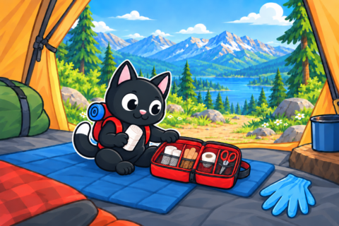
- A flashlight and first-aid kit will remain in reserve in case of a delay.
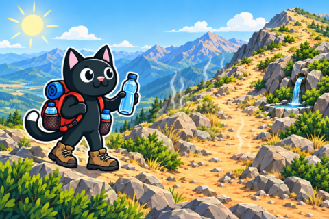
- It is best to take water and food for the entire route: relying on water sources along the way is not advisable.
Our Hike
On April 28, 2024, we climbed Tahtalı on foot. The track was 21 km long, with almost 1,500 m of elevation gain, and its highest GPS elevation was 2,366 m. This is the greatest elevation gain among the routes in our archive.
A day like this requires an early start. If the first ascents take longer than estimated, a turnaround plan helps prevent the final descent from being pushed into darkness. You should leave the track and a check-in time with family or friends.