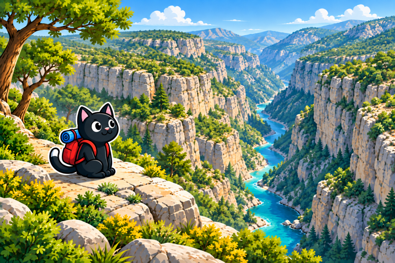
Güver (Turkish: Güver Kanyonu) lies north of Antalya. The usual tracks here are among the easiest in our collection: the terrain is nearly level, without long climbs or descents. You can walk along one side of the canyon or combine both sides in a single route. A separate, difficult route descends toward Kapuz and the mountain jacuzzi.
Route Options
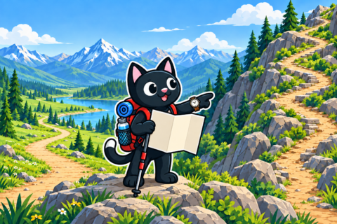
For an easy outing, choose one side of the canyon. This option is suitable for a relaxed walk: most of the route follows a level plateau, and the distance creates most of the effort. To see the canyon from different angles, combine both sides.
Our northern loop is 15 kilometers long with 180 meters of ascent. Going around both sides is also 15 kilometers, but with about 350 meters of ascent. A short option that we completed in the rain covered 8 kilometers with 200 meters of ascent. These figures are useful when assessing distance and ascent, but at Güver you must also consider the exact line of the track.
The Canyon and Dry Waterfall
The trail offers views of the canyon’s high walls. On one track, we found a dry waterfall. It is directly beside the path, but approaching the very edge is dangerous: the channel ends at a drop of more than 20 meters.
You can view the waterfall from the trail. Do not step onto the sloping channel or approach the edge: there are no barriers, and the surface may be slippery. After rain, stay even farther away from the edge.
The Difficult Route to Kapuz
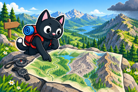
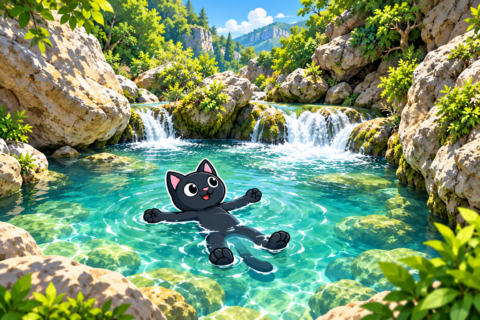
The connection between Güver, Kapuz, and the mountain jacuzzi is a separate, difficult track, not an extension of the easy plateau walk. It includes a descent and an approach to the neighboring canyon. Our track covered 16.9 kilometers with 650 meters of ascent and a high point of 330 meters.
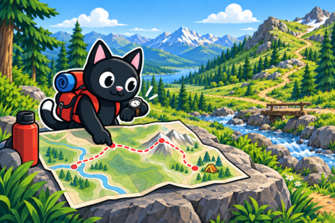
Allow a full day for this route, estimate the time in advance, and save the GPX track offline. Keep space between participants on the descent, and do not attempt the route without experience of long mountain hikes.
Preparation
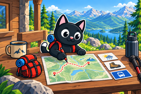
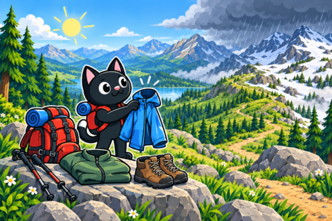
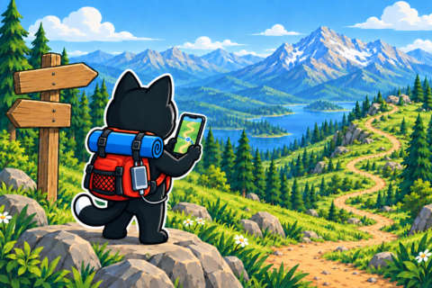
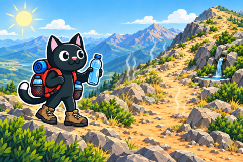
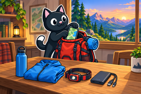
Easy terrain does not remove the need for normal preparation. Our records contain no confirmed places to refill water, so bring water for the entire route, food, a first aid kit, a flashlight, and a charged phone. Check the forecast before starting, and show the group the places where no one should approach the canyon rim.
Our Hikes
May 21, 2023. We connected Güver and Kapuz: 16.9 kilometers, 650 meters of ascent, and a high point of 330 meters. This is the hardest of the saved options.
October 1, 2023. The northern loop covered 15 kilometers with 180 meters of ascent and a high point of 330 meters. On December 30, 2023, we walked both sides of the canyon: the same 15 kilometers, but with 350 meters of ascent.
May 26, 2024. The route covered 14.8 kilometers with 350 meters of ascent. On November 10, 2024, rain shortened our outing to 8 kilometers, 200 meters of ascent, and a high point of 270 meters. Even on a familiar route, change the plan if conditions deteriorate.


