Coastal paths, old roads, and sections of the Lycian Way surround Kaş. The routes vary in length, elevation gain, and access to water. Compare your chosen option with the season and your experience while the rocky climb is still only a line on the map.
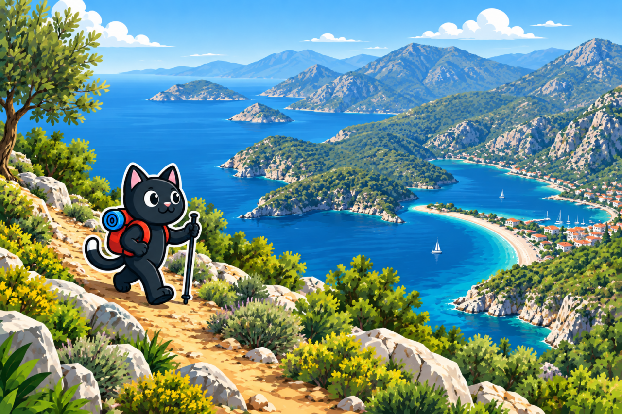
The Çukurbağ Peninsula
The roads and paths of the peninsula are suitable for an early walk with views of Kaş. It is easy to choose a short distance and return by local transport or on foot. Part of the route follows the road. Bright clothing will help drivers see you, and you should remain alert to traffic. Coastal paths may descend to private platforms, so respect signs and barriers.
The Climb to Çukurbağ
A section of the Lycian Way climbs from Kaş over a rocky slope to the plateau. You feel the elevation gain from the first few steps, and the old steps require careful footing. Once you reach the top, the bay and a Greek island come into view. Start at dawn on a hot day, as there is almost no shade along the way. Later sun makes the same climb considerably harder.


Limanağzı
Many people travel to the bays of Limanağzı by boat, but a footpath also leads there. The steep rocky sections require confident footing, including on the descent to the water. Ask local guides about the condition of the trail, especially after storms. Arrange your return boat ticket in advance and leave a time margin before the last departure.
Apollonia and Aperlai
In the Sıçak area, you can combine the ruins of Apollonia, rural roads, and the coast at Aperlai. On this remote route, arranging your return matters more than the number of kilometers. Some sections cross sharp limestone. Water and mobile reception are limited, so it may be difficult to arrange a pickup after you have already reached the bay. Book a transfer, boat, or overnight stay in advance.
Kekova and the Village of Üçağız
The area around Üçağız is suitable for unhurried coastal walks among olive trees and ancient tombs. You can see submerged ruins from a boat while observing the protected area’s rules. If you came for a boat trip, check the timetable and permitted routes before leaving. Swimming restrictions may also change. If you want to combine a coastal walk with a boat trip, match your return time to the current timetable.
Preparation
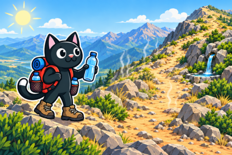
- carry more water than you would for the same distance in a cool climate, as heat on an exposed slope quickly changes your usual consumption;
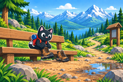
- wear protective footwear that shields your toes from sharp limestone, since they may strike a rock ledge on the descent;
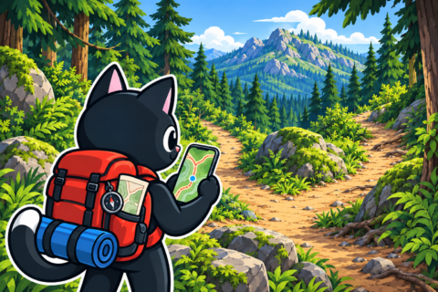
- download a map and mark alternative exits to roads and villages, which will help you leave the trail if the plan changes;
- check transport, access, weather, forest closures, and sunset time, so you do not have to race twilight on the way back;
- share the route and a check-in time with someone outside the group, so they know when to expect your message.

The Rhythm of the Seasons
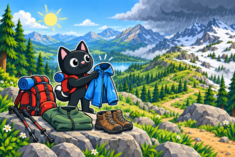
Flowers cover the slopes in spring, and ticks may be present in the grass. Thorns scratch in overgrown passages, making lightweight long trousers more comfortable than shorts. On a narrow trail, the fabric will protect your legs when branches come close. Climbing is more comfortable in autumn, although an early storm makes the rock slippery. Short winter days and strong wind call for a more modest objective.
In summer, finish your walk before the main heat, or start toward evening on a short route you already know. The body recovers more slowly after a hot night, so a familiar climb may require a break. Keep extra water and electrolytes close at hand even over a short distance. Stop regularly in whatever shade is available. Leave enough daylight for the return after an evening start.

At a junction, a goat path can look more convincing than the tourist waymarks. It may eventually lead to an impassable slope even while the path remains visible underfoot. Compare your direction and elevation with the map before following such a turn. If you are unsure, mark the junction. Returning to it will be easier than trying to find another passage across the slope.
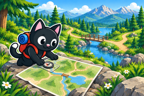
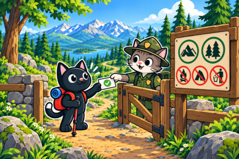
In villages, it is helpful to say hello and ask permission before crossing yards or gardens. A digital track sometimes runs directly through private property. Stop at the gate and speak to the owners; choose a way around if they do not consent. An old route may have changed since the track was recorded. Courtesy helps preserve good relations between residents and travelers.

The same number of kilometers can feel very different around Kaş. Elevation gain, heat, and the quality of the rock underfoot change your pace. A short rocky climb in hot weather can take longer than the distance on the map suggests. A moderate plan leaves enough energy to stop above the sea, hear the cicadas, and watch the islands dissolve into the evening haze. A time reserve also allows for a calm return over the same uneven ground.