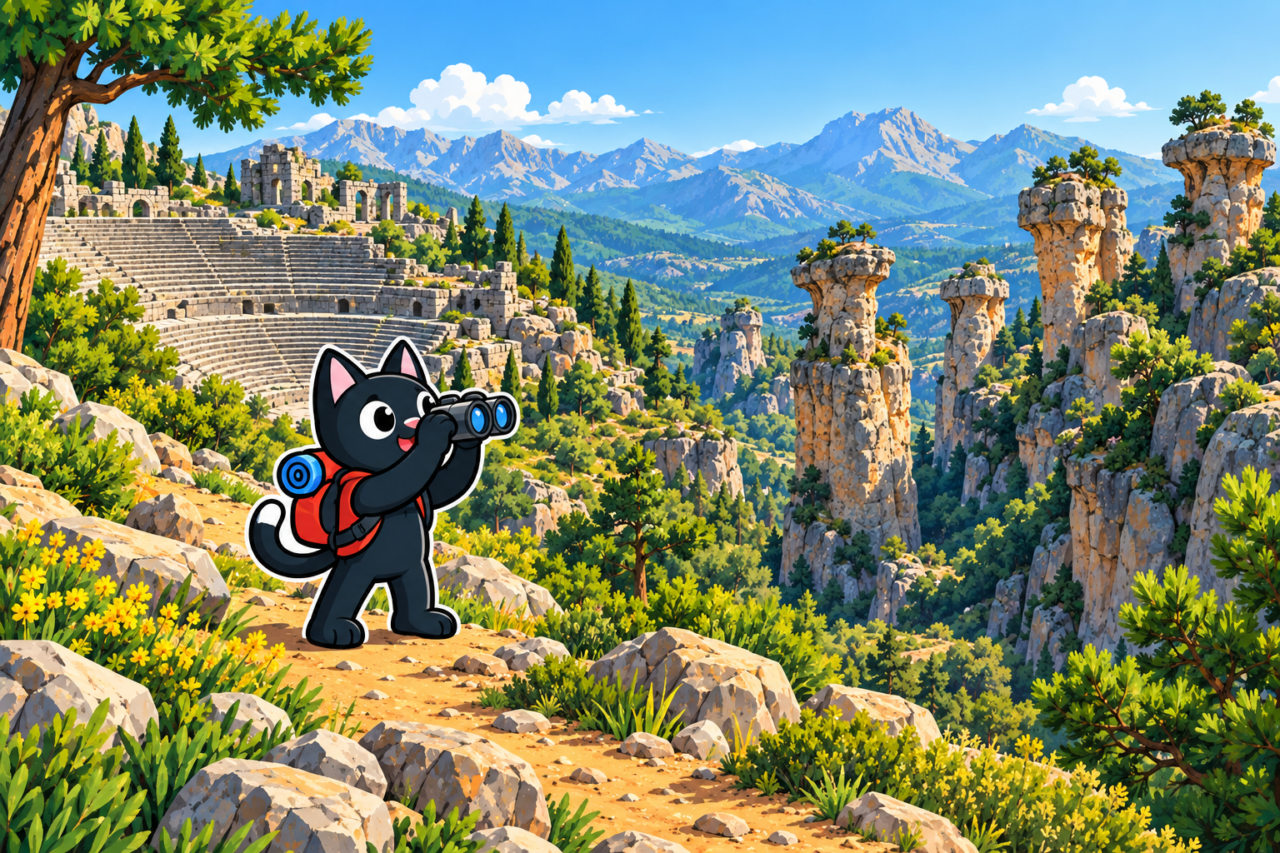
Selge stands high in the mountains above Köprülü Canyon. In a single day, you can walk through the remains of the ancient city, climb to the theater with its open view of the surrounding peaks, and enter a maze of stone towers. We call them the avatars. The official local name of these formations is Adam Kayalar, meaning “human rocks.”
The Road Through Köprülü
The road to Selge climbs from the Köprüçay valley. The river recedes below as you climb, and the ancient Oluk Bridge stands near the canyon. Beyond it, the road becomes a mountain switchback. The drive itself gives you a sense of the terrain: the village and ruins lie on a plateau roughly one kilometer above sea level.
The approach takes up a significant part of the day. Before setting out, check the road, the weather, and transport for the return journey. Mobile reception is unreliable in the gorges, so it is best to save the map offline.

An Ancient City at High Elevation
Selge was one of the cities of ancient Pisidia. Its ruins now stand among the houses of Altınkaya village. The best-preserved structure is the large theater built into the slope. Nearby, you can see the remains of a stadium, agora, temples, city walls, and other buildings.
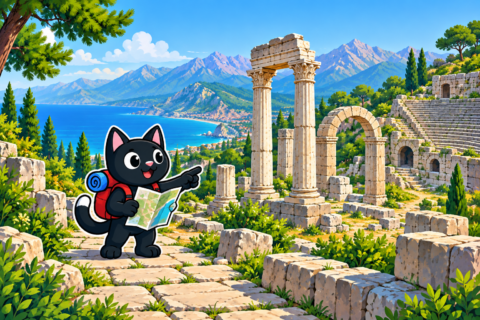
The theater lies at an elevation of roughly 950 to 1,000 meters. Its upper rows offer a broad view of the mountains and plateau. Stones from the ancient masonry lie beside paths and modern homes, making it especially important to leave any fragments where you find them and not enter private yards without an invitation.

How the “Avatars” Formed
The rocks around Selge consist mainly of conglomerate. This sedimentary rock is made of rounded pebbles, sand, and smaller fragments that were bound together over time by calcareous cement. Ancient watercourses carried this material into a gradually subsiding basin. The Taurus Mountains later rose, and water began to erode the mass along fractures and weaker layers.
Calcareous cement dissolves in water. Rain and streams widened the fractures, washed away weaker sections, and left the more resistant parts standing as walls, towers, and individual pillars. This process created the walls of the “avatars,” with narrow passages and green islands of open ground between them. In places, the route literally follows a corridor between upright rock formations.
We found inclusions in the rock that looked like compressed shells. They are probably fossilized shells of ancient mollusks and fragments of them. They once settled with the sand and pebbles before the entire deposit cemented together and turned to stone.
A Route Between Green Islands
From the theater, you can continue to the “avatars” and make a walking circuit around Selge. Our routes in January and April 2024 were between 9.6 and 10 kilometers long, with about 230 meters of elevation gain and a high point of roughly 950 meters.
The route is memorable for the journey itself. An open green clearing suddenly ends at a wall of conglomerate, then the trail dips into a narrow passage and emerges onto the next green island between stone walls. It is easy to miss the right turn in the maze, so a GPX track is useful even on this relatively short walk.
Tazı and the Saint Paul Trail
Selge makes a convenient starting point for a longer route to Tazı Canyon. The trail descends from the high plateau into difficult terrain, then climbs again to the famous canyon viewpoint. Our hike covered 12 kilometers with about 690 meters of elevation gain.
The eastern branch of the Saint Paul Trail passes through Selge. Sections of this long-distance route, which runs from the Mediterranean plain into the Taurus Mountains, lie alongside the local paths between the ruins and the “avatars.”
What to Bring
There is little shade on the plateau, while the ground between the rocks includes scree, shrubs, and loose soil. You will need closed-toe footwear, water, sun protection, and a charged phone. The conglomerate and clay sections become slippery after rain. It is noticeably cooler at this elevation than by the sea during the colder months, so check the forecast for the mountain area before you start.

Selge, the “avatars,” and the theater can comfortably fill a day of their own. Continuing to Tazı makes it a much more demanding route, requiring an early start and prearranged transport from the finish.