The routes around Kemer (Turkish: Kemer) vary enormously: a 6 km canyon walk, coastal trails with swimming, and an ascent of Tahtalı with almost 1,500 m of elevation gain. Two figures make choosing easier: distance and elevation. A gentle walk by the sea and a rocky mountain slope can place completely different demands on you over the same amount of time.
Easy Walks
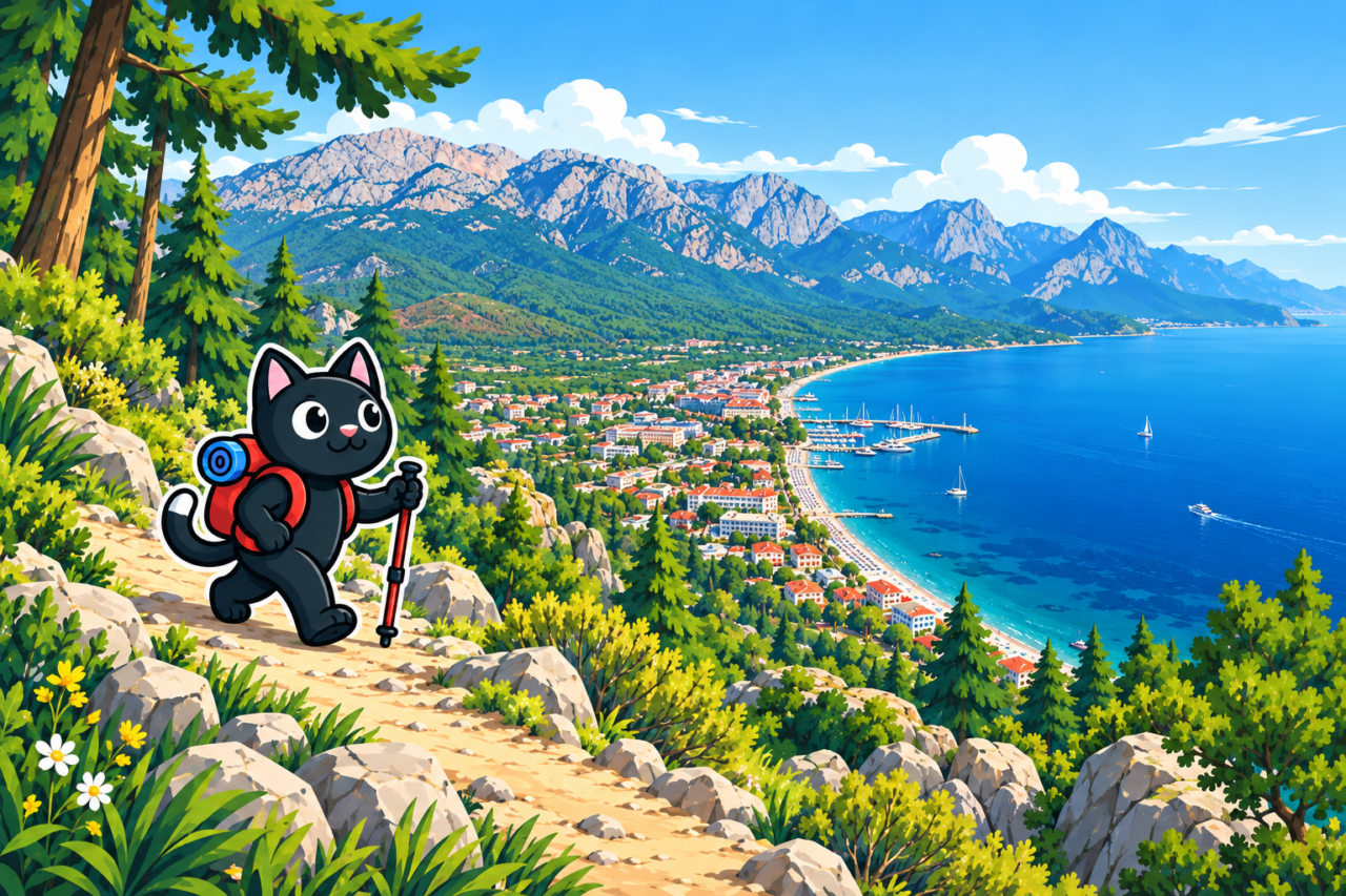
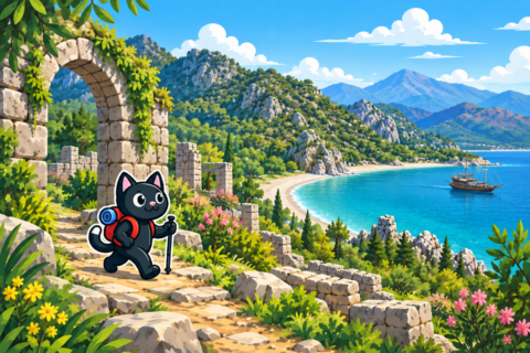
Phaselis, the short Göynük route, and the easy track on Çalış are suitable for a relaxed day. At Phaselis, the easy option starts west of Çamyuva and follows the sea past several beaches; our track covered 6 km with 130 m of elevation gain. The walk through Göynük Canyon covers 5–6 km from the entrance; traveling by dolmuş adds an approach on foot from the highway. Çalış is technically straightforward and convenient for an introduction to hiking; you can walk from the dolmuş stop to the trailhead.
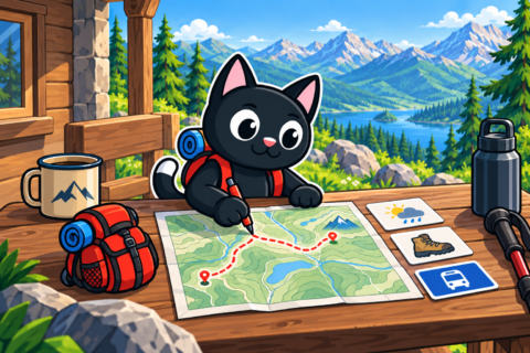
Even a modest climb feels harder in summer. It is best to plan your water, sun protection, and return time in advance. At Göynük, the road from the highway to the entrance and back adds about 7–8 km, so using public transport turns a short walk into a full day.
Moderate Routes
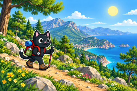
Çalış, approximately 320 m high, offers 8–9 km loops with 430–670 m of elevation gain, an ascent to the swing, and a descent to a small cove with white rocks. The coastal routes cover 10–12 km with about 700 m of elevation gain; the final descent is loose and requires caution. Near Tekirova, the coastal routes range from 13 to 28 km with 300–690 m of elevation gain. Here, the route profile already matters more than the beach atmosphere.
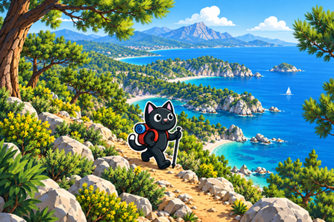

From Yayla Kuzdere via Gedelme to the bridge, we walked 17 km with 115 m of elevation gain. The route from Gedelme to Kemer covered 15 km with 500 m of ascent. The first option is tiring because of the distance, while the second adds a mountain climb, so both profiles should be compared with your recent hikes.

Long and Difficult Days
Our out-and-back route to Gelidonya Lighthouse covered 20 km with 730 m of elevation gain. The full route from Karaöz via the lighthouse to Adrasan is approximately 22–24 km. The ascent of Tahtalı proved the hardest route in this collection: 21 km, almost 1,500 m of elevation gain, and a 2,365 m summit. Plans like these require an early start and an honest assessment of the energy needed for the descent.
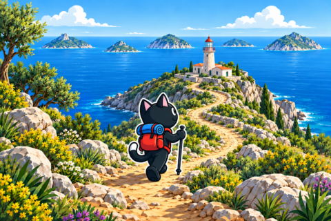
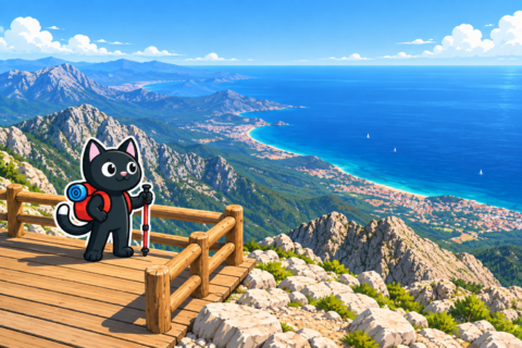
Olympos and Çıralı offer several long routes. From Beycik to the flames is 15 km with 380 m of elevation gain. The complete coastal route between Tekirova and Çıralı covers approximately 21–22 km and requires a full day of walking. An offline track, a flashlight, and an agreed finish point are part of the basic preparation here.


Season and Logistics
Our September outing to Gelidonya was difficult because of the heat, so the lighthouse is best planned for spring or late autumn. In summer, we chose Tekirova, Phaselis, and Suluada, where the day can be combined with time by the sea. We climbed Tahtalı in late April, before the summer heat.
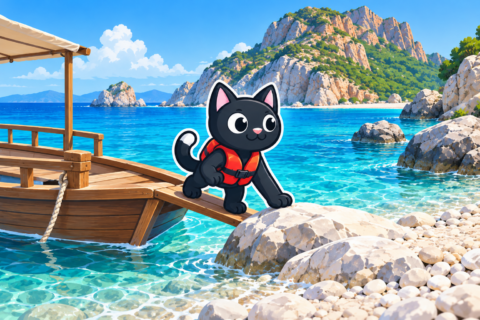
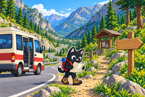
Many of the routes are linear. Transport between points must be checked for the specific date, as local timetables change. If the route ends far from a settlement, arrange the pickup before setting out on the trail.


Our Hikes
We began with Çalış on October 20, 2022, then added Göynük and Phaselis in February and March 2023. In the spring of that year, we walked from Beycik to Çıralı and followed the route to Gelidonya Lighthouse. In summer, we hiked to Gedelme, the beaches of Tekirova, and Suluada.
In 2024, we repeated routes around Olympos, Chimaera, Gedelme, Gelidonya, Tekirova, Suluada, Phaselis, and Çalış. On April 28, we climbed Tahtalı: 21 km and almost 1,500 m of ascent. These dates show that every season has a suitable scale of route here.


