Olympos (Turkish: Olympos) and Çıralı (Turkish: Çıralı) bring together ancient ruins, a long shoreline, and mountain trails. You can simply come to see the ancient city, descend to the beach from Beycik, or choose a full mountain route. Staying overnight in the area helps divide the sightseeing and hiking instead of trying to fit everything into a single day.
Ancient Olympos
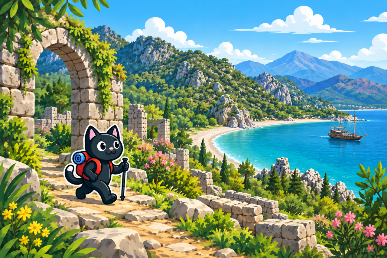
Olympos was one of the important cities of the Lycian League. Its ruins lie in a forested valley on both sides of the Ulupınar riverbed, not far from where the water reaches the sea. The archaeological site contains a theater, basilica, baths, funerary monuments, and the remains of a bridge that linked the two parts of the city.
For an introduction to Olympos, it is enough to come to the archaeological site, explore the ruins, and walk through them to the coast. Stone surfaces become slippery after rain, so closed-toe footwear is useful even for this walk.
Opening arrangements, tickets, and accessible passages at the archaeological site change. Check them before your trip and respect closures on site. If you are tempted to climb onto masonry for a photograph, it is better to find a stable position on the path: old structures are easily damaged.
Çıralı and Chimaera
Çıralı is a convenient base for a walk by the sea and an outing to the Chimaera flames. You can drive through the settlement to the lower entrance and then climb the steps to the flames. Admission is charged, including when you leave through the ticket office after descending from Beycik.

The longer option leads from Beycik along the mountain section of the Lycian Way to Yanartaş and then continues to Çıralı Beach. This is a linear route with a long descent, so transport to the start and the return from the finish must be planned in advance.
For a short walk to the flames, climb from Çıralı up a stairway with noticeable elevation gain. A headlamp is needed for the return after sunset. On the shingle beach, water shoes make entering the sea more comfortable.
Part of the beach is associated with sea turtles, so seasonal barriers and lighting restrictions must be observed. Nests must not be touched, and belongings on the sand should be removed at night. A clean beach is safer for both the animals and future visitors.


Hiking Routes
Descending from Beycik along the Lycian Way
The linear section begins in the village of Beycik at an elevation of approximately 890 m and mostly descends along the mountain section of the Lycian Way. The route passes through forest to the Chimaera flames and continues to Çıralı. Our version covered 15 km with about 380 m of elevation gain.
The long descent puts considerable strain on the knees, and the rocky sections require careful footing. You can finish at Yanartaş or continue to Çıralı Beach. The start and finish are in different places, so transport must be arranged before setting out.
A Loop via Musa Dağı
Mount Musa (Turkish: Musa Dağı) rises above the ancient city. A circular route climbs its slopes and then descends directly to the ruins of Olympos. Returning through the valley completes the loop, so there is no need to arrange transport from another point after the descent.
Our track via Musa Dağı covered 15 km with 770 m of elevation gain. The route includes an extended ascent and a rocky descent, so it should be treated as a full mountain day. Time for visiting the ancient city should be included in your calculation from the outset.
East: toward the “Tractor” and Tekirova
The short option to the east is a loop from Çıralı to a point we call the “tractor” and back. The loop covers 9 km with 800 m of elevation gain. Despite its modest distance, the route has a steep profile.
The “tractor” can also be reached from the north: the trail descends directly from the highway to the coast. This is a linear route with different start and finish points, so drop-off on the highway and return transport must be arranged in advance.
The long option continues along the coastal section of the Lycian Way, through forest, beaches, and small coves, to Tekirova. Depending on the start and exit points, it is approximately 21–22 km long. We have not walked the route in full; allow an entire day for it and plan the return from Tekirova in advance.

West: via Olympos to Adrasan
To the west, the trail leads through Olympos and Musa Dağı to Adrasan. The complete section to Adrasan requires readiness for a prolonged ascent and descent. Part of this route can be included in a circular route above Olympos.
For any linear route, transport from the finish or overnight accommodation must be confirmed in advance.


Preparation
For long routes, take enough water for the entire planned day: springs may be seasonal. An offline map will help at forest junctions, and a flashlight will serve as a backup in case of delay. Exposed climbs heat up more in summer, so choose the starting time and pace according to the weather.
Campsites and small guesthouses operate in the area, but availability and services must be confirmed directly. The day is more relaxed if you do not need to return to Antalya that same evening after 15–19 km. Save the address of your accommodation and the hosts’ contact details before entering an area with weak mobile reception.

Our Hikes
- April 8 and October 8, 2023: descents from Beycik along the Lycian Way to Çıralı and the Chimaera flames; the October route covered 15 km with 380 m of elevation gain.
- October 14, 2023: a loop via Musa Dağı and ancient Olympos, 15 km with 770 m of elevation gain.
- March 17, 2024: another route near Olympos.
- September 1 and 28, 2024: routes to the “tractor”; the short loop from Çıralı covered 9 km with 800 m of elevation gain, while the option descending from the highway in the north covered 18 km. We were caught in rain on the northern descent.

The area offers both short, steep ascents and long coastal routes. Before choosing, compare the profile with the experience of the whole group. On a steep route, you will need energy in reserve sooner, even if the distance looks moderate.


