The Chimaera flames, or Yanartaş (Turkish: Yanartaş, “burning stone”), are on the slope above the northern part of Çıralı. You can come here for a short walk up a flight of steps, descend along the Lycian Way from Beycik, or continue across the western ridge. A ticket office charges admission at the lower entrance.

Getting There
A side road from the D400 leads to Çıralı. You can drive through the settlement by car or taxi directly to the lower entrance to Yanartaş, where the road ends and the ascent on foot begins. If you arrive in Çıralı by public transport, it is best to arrange the onward transfer to the entrance in advance.
Stone steps and a trail climb from the ticket office to the flames. The ascent usually takes about 30–40 minutes, and the flames themselves are at an elevation of approximately 250–300 m above sea level. It is a short walk, but the incline is noticeable, especially in hot weather.
Admission is charged. The price changes, so it is best to check before the trip or on site. A ticket is required both when ascending from the parking area and when leaving through the lower ticket office after descending from Beycik along the Lycian Way.
What Are the Chimaera Flames?
The flames appear where a gas mixture consisting mainly of methane escapes through cracks in the rock. The gas ignites at the surface, so individual flames burn continuously between the stones. The site lies within Olympos–Beydağları National Park; fragments of an ancient sacred road and buildings from the Roman and Byzantine periods survive near the flames.
The name “Chimaera” is connected with the ancient myth of a fire-breathing monster defeated by Bellerophon. The natural flames look more striking at dusk, but this means the return down the steps takes place in the dark. You need a flashlight for an evening visit.
A Short Ascent from Çıralı
For a first visit, simply come to the lower entrance, climb to the main area, and return the same way. You need closed-toe footwear, water, and a calm pace. In summer, it is best to plan the ascent outside the hottest hours.
There are open flames around the gas vents. Stay on stable rocks and do not throw objects into the fire.

Descending from Beycik
A mountain section of the Lycian Way leads from Beycik to the flames. It passes through forest and loses elevation for most of the way before reaching Yanartaş. From the flames, you can descend to the lower ticket office and continue into Çıralı. You will need to pay the admission fee when leaving through the ticket office, even if you approached the flames from above.
This is a linear route: the start in Beycik and the finish are far apart. Transport to the start and the return from Çıralı must be arranged before setting out. The long descent requires water, an offline track, and a flashlight with sufficient charge.
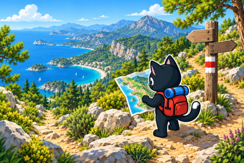
Heading West across the Ridge
A mountain route heads west from the flames across the ridge. This is where the easy walking route ends: the line of the trail is harder to follow, there are rocky sections, and the descent is difficult. This option requires confident navigation, an early start, and experience on faint mountain trails.
An offline track and flashlight are essential, and the time allowance must account for finding the correct way at junctions. This option is not suitable for a normal evening visit to Yanartaş.
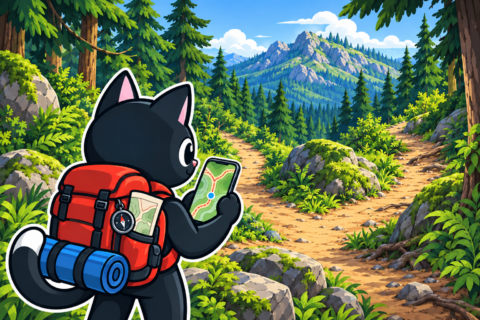
Olympos and Çıralı
Yanartaş lies above the northern part of Çıralı, so a visit to the flames can conveniently be combined with a walk through the settlement and along the beach. The ruins of ancient Olympos are at the southern end of the coast. A separate article brings together Olympos, Çıralı, and the hiking routes between the coast and the mountains.
Our Hikes
- April 8, 2023: a descent from Beycik to Çıralı along the Lycian Way.
- October 8, 2023: Beycik — Chimaera flames; 15 km, 380 m of elevation gain, starting at approximately 890 m.
- April 7, 2024: a separate short outing to the Chimaera flames.
- September 1, 2024: a descent to Çıralı along this route.
On one of our outings, we continued west from the flames across the ridge. We lost the route on a faint trail and finished the descent almost in the dark. This experience showed that the western option requires a large margin of daylight, even when the start of the route seems clear.


