Göynük Canyon (Turkish: Göynük Kanyonu) lies at the foot of the Taurus Mountains, near the settlement of the same name in the Kemer district. From the entrance, you can follow a very easy 5–6 km route along a wide mountain road. If you travel there by public transport, a long approach on foot is added, and the total distance roughly doubles.
Getting There
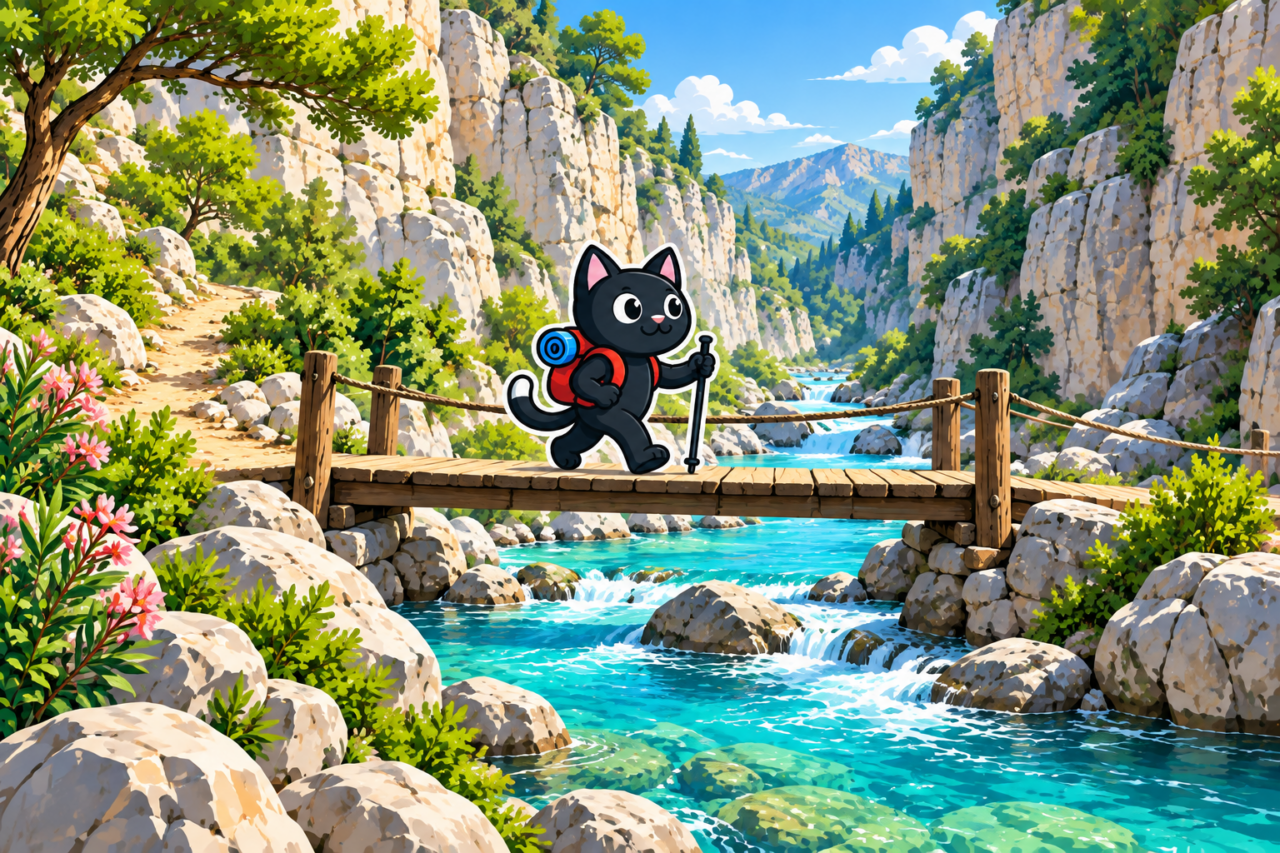
You can drive to the canyon entrance by car, taxi, or transfer. This option leaves only 5–6 km to walk and is suitable for an easy half-day outing. Admission is charged; it is best to check the price, opening hours, and availability of activities before setting out.
From Antalya, you can take a dolmuş toward Kemer, get off on the highway at the turn for the canyon, and walk to the entrance. The approach from the highway is about 3.5–4 km each way. For the return journey, you can use dolmuş services coming from Kemer. Check the stop location and current timetable on the day of your trip.

An Easy Walk through the Canyon
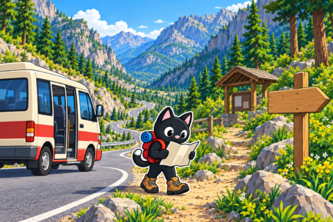
From the entrance, the road follows the river between forested slopes. The out-and-back walk is about 5–6 km. Technically, the route is very easy: most of it follows a comfortable mountain road with little elevation gain.
The canyon is beautiful and impressive in scale: the river disappears between high walls, while the road offers views of the surrounding mountains. At the end of the dry walk, a narrow water section begins. Entering it is considered a separate activity and may require water gear. Conditions change after rain, so access to the water section should be checked on site.

Two Sections of the Lycian Way
Two neighboring mountain sections of the Lycian Way meet in the canyon area. One leads through Göynük Yaylası toward Gedelme, while the other crosses the slopes of Sarıçınar toward Hisarçandır. From the canyon, you can join either one, provided you plan transport at the far end in advance.


Both directions follow proper mountain trails with rocky surfaces and extended ascents and descents. They require good fitness, confidence moving over rocks, and an offline track downloaded in advance. Weak mobile reception and the routes’ linear format mean that you need spare time and prearranged transport.


Descending from the Mountains into Göynük
You can descend into the canyon from above along the Lycian Way. One option begins at an elevation of approximately 900 m and covers 12 km. This is a proper mountain route with a long descent, an uneven trail, and considerable strain on the knees.
The descent requires confidence moving over rocks, good physical fitness, and a calm pace. The starting point and transport into the mountains must be arranged before setting out.

Our Hikes
- February 25, 2023: a route to the canyon, 12 km long.
- February 28, 2023: another 12 km outing, this time in the rain.
- March 25, 2023: the only time we descended into Göynük along the Lycian Way from an elevation of about 900 m; 12 km.
- October 12, 2023: an easy walk through the canyon, 6 km long.

The main difference between these options is the starting point. Driving to the entrance gives you a short, very easy walk. Taking a dolmuş adds a long approach on foot. Descending from the mountains already requires experience and good preparation.


