Tünektepe (Turkish: Tünektepe), on the western edge of Antalya, is one of the easiest places to try mountain hiking. Depending on the district, the trailhead is a 30- to 60-minute ride away on a city bus. All that remains is to cross the road, and you are already on the track. We have hiked here more than forty times in different seasons and have put together several route options, from a short ascent to a loop around the mountain.
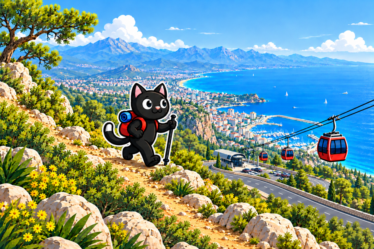
The Summit’s Name and History
The name Tünektepe consists of the words tünek (“roost,” a place where birds spend the night) and tepe (“hill”). It can be translated literally as “Roost Hill.”
In the 1970s, the round Döner Gazino restaurant pavilion was built at the summit. Here, the word döner means “rotating”: the restaurant turned slowly, giving visitors panoramic views of Antalya and the gulf. The building is clearly visible from the city and has long been part of Tünektepe’s silhouette.
A cable car from Sarısu to the summit began operating in 2017. On April 12, 2024, one of its pylons collapsed and struck a cabin. The line was closed after the accident.
How to Get There
From the city, travel to the Sarısu Depolama terminus. The KL08, VS18, SD20, SD20A, KF52, ÜS29, and 400 buses stop here. The most direct option from the center is usually the KL08 because it does not detour through the Hurma district. Cross the road from the terminus—the start of the track is nearby.
Beginning of the Route
The climb begins almost immediately and is fairly steep. The first few minutes will quickly show you how you feel on the ascent. Do not try to maintain a fast pace from the start: take breaks, rest, and walk at your own pace.

The first section follows a mountain road with views of Antalya. Open viewpoints offer a good view of the coast and Sıçan Adası between Konyaaltı and Beldibi. The island’s name literally means “Rat Island.” The short, easy option is 5 km long with approximately 360 m of elevation gain. This is a short but fairly steep route for a first introduction to the mountain.

White Rocks and the Cable Car Pylon
If you continue uphill, you can reach the white rocks and the cable car pylon damaged in the 2024 accident. This is a convenient place to take a short break and then return the same way. According to our tracks, the route to the white rocks is approximately 6 km long with 460 m of elevation gain. The distance to the beginning of the fixed cable is about the same, with 460–490 m of gain.

To the Summit Using the Cable
Those who still have the strength and have experience on steep slopes can climb higher. At the end is a section of approximately 300 m with a fixed cable. It is not vertical but is still fairly difficult. The full option is usually 10 km long, has approximately 900 m of total elevation gain, and reaches the 635 m summit.
Before the cable, calmly assess your strength and the condition of the section. If you are unsure, it is better to turn around at the pylon. From the summit, you can return the same way or descend along the paved road.


Evening Ascent for Sunset
Another option is an evening ascent to watch the sunset from the summit. This option is well suited to hot weather: by the time you begin climbing, the sun is already disappearing behind the mountain range, the trail is in the shade, and the scorching sun does not feel as strong. You need to calculate your starting time so that you pass the cable section while it is still light. After sunset, you can descend along the paved road, which is about 5 km long. As you descend, the lights come on below, and the road offers a magnificent view of Antalya at night.

Loop Around the Mountain
Another option is a 15 km loop around Tünektepe with approximately 540 m of elevation gain. Most of the route passes through the forest, but there are open viewpoints above the coast along the way. They overlook coves, the coastline, and Sıçan Adası. Approximately halfway around, there are some ruins, and a small waterfall is located a short distance from the main trail.
It is best to set out on the loop with extra time and save the GPX track in advance. The choice between the loop and the ascent to the summit appears at the first junction, right at the beginning of the route.

What to Bring and When to Go
We have hiked on Tünektepe in every season, including summer evening outings and rainy spring days. You should still check the weather on the mountain before setting out. Stones and steep sections become slippery after rain, while the exposed first ascent is hot in summer.

We have no confirmed drinking-water points on the route. Bring enough water for the entire route, food, a first-aid kit, a flashlight, and a charged phone. If you are going in the evening, pack the flashlight where you can reach it before dark.
How to Get There
The journey from different districts of Antalya takes between half an hour and an hour. The trailhead is on the western edge of the city: after the bus ride, cross the road to the beginning of the track. Route numbers and timetables change, so check the journey to the trailhead and the return route before setting out.

Our Hikes
October 26, 2022. The first saved “cable” route: 11 km, approximately 900 m of total elevation gain, and the 635 m summit. November 6, 2022. The “easy” option: 5 km, 360 m uphill, and a high point of 300 m.
September 24, 2023. The loop: 15 km, 540 m of elevation gain. August 3, 2024. An evening “cable” route: 10 km, approximately 900 m of total elevation gain, and the 635 m summit.
March 30, 2025. The white rocks in the rain: 6 km, 460 m of elevation gain, and a high point of 384 m. October 25, 2025. A repeat outing to the white rocks: 6 km, 460 m of gain, and a high point of 402 m. These are only a few examples from more than forty outings.
Before your hike, choose a specific option and check it in full. The name “Tünektepe” encompasses routes with very different levels of effort and distances ranging from 5 to 15 km.