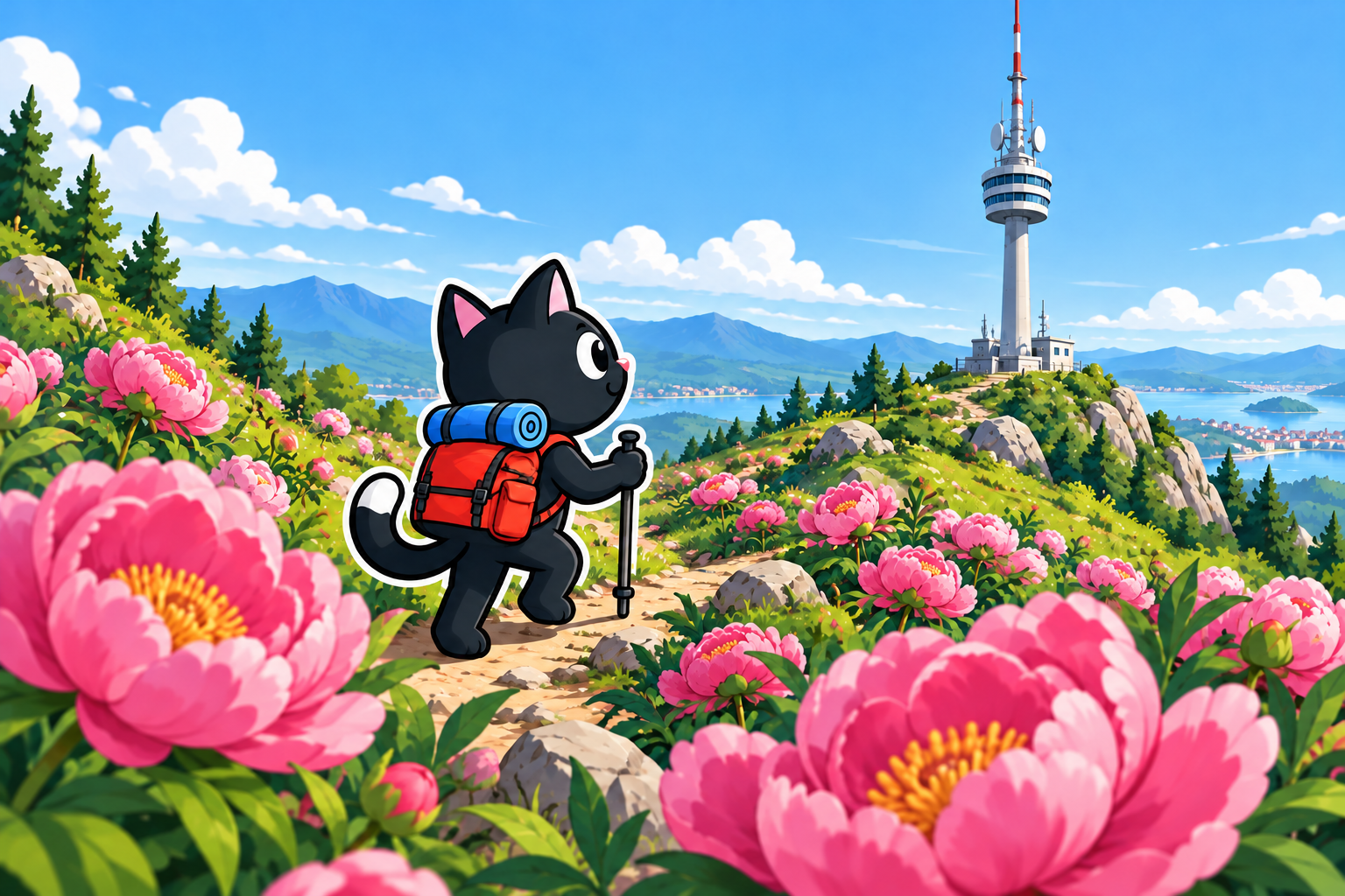
The TV tower stands on 1,811-meter Mount Sarıçınar (Turkish: Sarıçınar Dağı), and the track runs south of Hisarçandır (Turkish: Hisarçandır). If you look carefully, the tower rises above the mountain ridge behind Tünektepe and can be seen from the beaches of Konyaaltı.
What Kind of Tower Is It?
This is TRT’s Sarıçınar transmitting station (Sarıçınar Verici İstasyonu in Turkish). TRT is Turkey’s state radio and television broadcaster. According to the Antalya Journalists Association, the station began operating in 1977: after it opened, Antalya was connected to TRT’s central television broadcasting from Ankara, and the transmission of recorded program packages was discontinued.
A metal mast and the technical buildings of the transmitting complex stand at the summit. This is not a tourist observation tower and is not intended for visitors to enter. The condition and access rules of the site may change, so obey fences and warning signs on site.
How the Route Is Laid Out
Our version was long: in one day, we walked 25 km, gained 1,010 m, and reached an elevation of 1,793 m. This was the high point of our track, not the mountain’s elevation given in reference materials. However, these figures describe our particular hike with a visit to see the peonies. If your objective is to go directly to the summit, you can drive closer and shorten the walking section.

Sarıçınar is part of the coastal section of the Beydağları. According to the Antalya Directorate of Culture and Tourism, the mountain is located north of the Göynük River, and its slopes descend steeply to the sea.
Almost the entire ascent follows a mountain road with a gentle gradient. The elevation gain feels steady, but the continuous climb and distance still require endurance. Before setting out, compare the distance and elevation gain with your recent routes.

Peonies and Snow
On one of our spring outings, we set off to see the peonies in bloom and, once there, decided to continue all the way to the tower.
In the Hisarçandır and Sarıçınar area, peonies usually begin to bloom in early April and flower throughout the month. The timing depends on the weather: after a warm winter, the first flowers may appear as early as March, while after a cold winter, they may appear later.
On March 16, 2025, peonies were already blooming on the slopes. This observation applies to one particular season: in another year, flowering may begin earlier or later. Before your trip, check the seasonal conditions rather than relying on the date alone.
Spring by the sea does not mean that it is already warm at the top. You may encounter snow at the summit: on our hike, it delayed the group by about 40 minutes—the people of Antalya had already missed the snow, so we had a snowball fight and built a snowman. It is best to prepare for wet snow with suitable footwear and spare dry socks. We had not taken this into account and got our footwear wet.

View from the Summit
The summit offers one of the most expansive panoramas in the Antalya area. The entire valley, the coastline and its beaches, and mountain ranges stretching into the distance are visible. Because of the elevation, the city and sea lie far below, and the full scale of the view is revealed only at the tower.
Who the Route Is Suitable For
The full 25-kilometer option is intended for people with experience of long days in the mountains. On the gentle but lengthy ascent, it is important to maintain a steady pace and decide on a turnaround time in advance. A shorter option with a drive closer to the summit must still be assessed using the actual track and conditions at the top.

We have no confirmed water sources along the road. Bring enough water for the entire route, food, a first-aid kit, a flashlight, a charged phone, and an offline track.



Our Hike
March 16, 2025. We walked 25 km, gained 1,010 m, and reached an elevation of 1,793 m. The outing began as a trip to see flowering peonies and continued all the way to the TV tower. At the summit, we encountered snow, got our footwear wet, and spent about 40 minutes playing in the snow.
Before repeating the route, check your chosen version from the starting point to the summit and back. Our 25 km is not the only possible distance, so time, water, and equipment must be calculated for your chosen starting point.