Lyrboton Kome (Turkish: Lyrboton Kome) is one of the routes closest to Antalya, along with Tünektepe. The ancient settlement occupies a small plateau on elevated ground north of the city. You can come here for a short walk among the ruins, choose an evening outing, or create a loop through the forest and surrounding hills with an approach to a cave.

How to Get There by Tram
From Antalya, it is convenient to take the T3 tram toward Varsak to the terminus of the same name. It is about a 30-minute walk from there to the beginning of the track. Look for the Turkish spelling Varsak on signs and in transit apps, and do not confuse the tram terminus with the starting point of the walk: there is still an urban walking section between them.
Before your trip, check the current line map, the time of the last return tram, and the entire route from the stop to the track. This is particularly important for an evening route, when a delay at the ruins may affect your return. The general principles for this type of check are covered in the article about transport to the trailhead.

What Lyrboton Kome Is
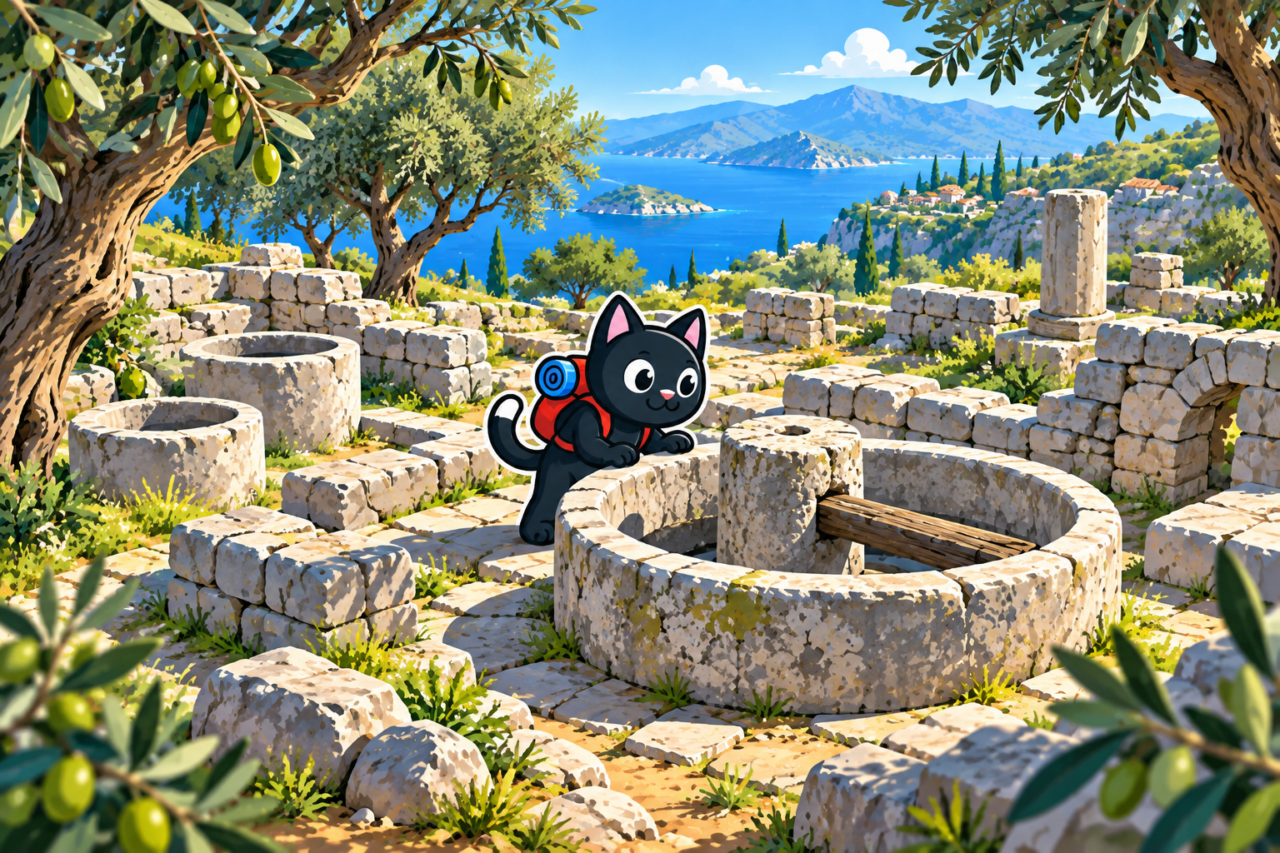
Lyrboton Kome was a rural settlement associated with ancient Perge. Ancient inscriptions refer to the place as Elaibaris, meaning “olive farm.” Olives were grown and processed here: numerous presses and other traces of oil production remain at the site. The settlement existed from the Hellenistic period, developed during the Roman era, and remained inhabited in the Byzantine period.
The remains of the buildings are well preserved: among the ruins you can distinguish houses, cisterns, tombs, production spaces, and Christian buildings. Part of the city lies on an open section of the plateau with views toward Antalya, while another part extends into the forest. As a result, the walk is not limited to one compact complex: stone walls gradually appear among the trees and continue farther down the slope.
Lyrboton is a protected archaeological site. Do not climb on the walls, move stones, or enter unstable openings. Before visiting, it is useful to check the visitor rules: the condition of the passages and access to individual sections may change.

A Short Walk to the Ruins
The simplest option is to walk to the ancient city, take your time exploring its open and wooded sections, and return. Our track is approximately 5 km long, with 110 m of elevation gain and a high point of 190 m. This is an easy outing of several hours, suitable for a first visit to the site or a day when you do not want to travel far from Antalya.
The short distance does not mean that you should walk without a track: among the ruins and in the forest, it is easy to take the wrong passage. Compare the distance and elevation gain with the time available in advance, and leave extra time to explore the buildings at an unhurried pace.

Evening Route
At sunset, the stone walls take on warm side lighting, and the open part of the city looks especially striking. But the sun disappears behind the mountains here before the official sunset time calculated for a level horizon. Arrive with time to spare: it is better to be at the ruins in advance than to see the last minutes of sunlight while you are still walking from the tram.
It gets dark quickly in the forest after the sun is gone. Save an offline map, bring a headlamp, and decide in advance when you will start heading back. When planning, consider not only the forecast sunset time but also cloud cover, the season, and the mountain horizon.



Loop Through the Forest and Past the Cave
If you want to do more than visit the ancient city and would also like to walk through the surrounding area, you can take a loop through the forest and neighboring hills, approaching a cave along the way. Our version is approximately 9 km long with 110 m of elevation gain. The ruins become the beginning or end of a full walk, while open sections alternate with interesting forest.
It is best to treat the cave as a route landmark, not as a promise of a safe descent inside. For an unfamiliar loop, download the GPX track in advance and check that it opens without a connection. Stones, ground, and forest trails may be slippery after rain.

Difficulty and Preparation
Neither option is technically difficult. On the short route, the main task is not to rush among the stones and ruins; on the longer one, forest trails and time for the loop are added. You need closed-toe footwear with a grippy sole and, for an evening outing, a separate flashlight even if your phone is fully charged.
There are no confirmed water sources on the route, so bring drinking water from the city. On a hot day, the open plateau heats up considerably, although the forested section provides shade. Calculate your water supply for the walk and the journey on foot from the tram in both directions.


Our Hikes
January 14, 2024. A scouting trip on the short route: 5 km, 110 m of elevation gain, and a high point of 190 m. February 3, 2024. A loop through the forest and past the cave: 9 km with the same gain and high point.
July 7, 2024. An evening walk of 5 km with 110 m of elevation gain. This outing showed that it is worth arriving at the ruins before the calculated sunset time for beautiful light: the mountains block the sun before it formally drops below the horizon.


