Karadağ (Turkish: Karadağ) is a one-day mountain route northwest of Antalya, near the Feslikan Plateau. You can drive high into the mountains before the hike even begins, so the walking section is compact. The main attraction is the open view over the valley and Antalya, but the elevation, sun, and seasonal snow require preparation.
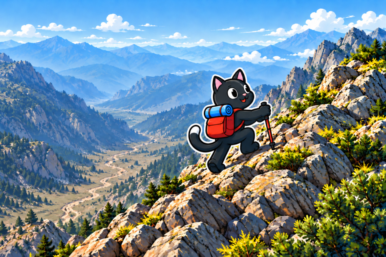
Where Karadağ Is Located
Karadağ is part of the mountains around Feslikan in the Beydağları, the western section of the Taurus Mountains. The Beydağları stretch west of the Gulf of Antalya. The Feslikan Plateau lies between Mount Eren, Mount Bereket, and Karadağ; the elevation in this area reaches approximately 2,000 m.
Feslikan is known as a destination for mountain walks and other outdoor activities. Do not let its proximity to the coast mislead you: the trailhead is in the high mountains, so you need to check the forecast, snow conditions, and road access before every trip.
How the Route Is Laid Out
The walking section begins high in the mountains. The climb has no technically difficult sections, but you cannot judge the effort by distance alone. Before setting out, compare the distance and elevation gain of your chosen track with your experience.
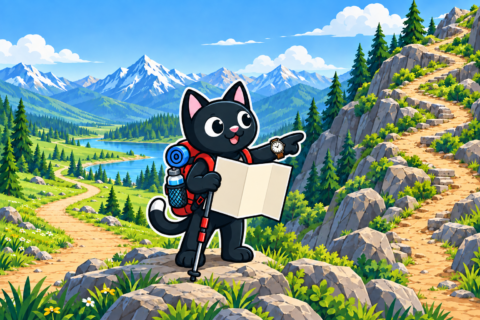
It is best to maintain a steady pace on the ascent and save some energy for the descent. You should also include time at the summit in your plan for the day so that you do not have to cut your break short because of the return journey.
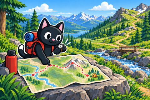
Views from the Summit
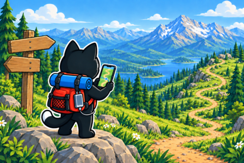
The summit offers a broad view of the river valley and Antalya in the distance. In suitable weather, the clouds may remain below the summit. The open valley, distant city, and line of clouds make this viewpoint the route’s main destination.
Descending into the Valley
It is best to follow the trail for the main descent. A direct line into the valley may appear shorter, but away from the trail you need to assess the steepness, loose ground, and the possibility of turning back. It is safer to stay on the track and descend without rushing.
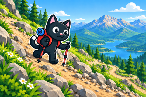
Elevation, Sun, and Snow
The weather at elevation differs from the weather in Antalya: it may be colder and windier at the top, while the sun can burn your skin more quickly. Even if it is cool by the sea, you need SPF sunscreen, a hat, and clothing that covers your skin. It is best to check the weather forecast for the route’s elevation rather than for the city.
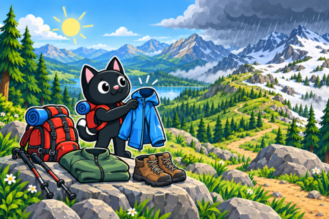
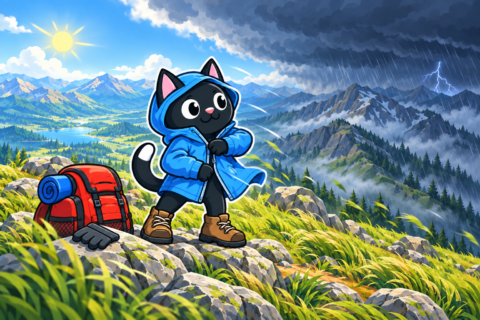
Depending on the season, there may be snow on the route. Footwear can easily get wet on such a section, so waterproof boots, gaiters, and spare socks are useful. A dry layer of clothing will also be helpful in case of a sudden change in the weather.
What to Bring
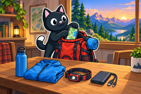
There are no confirmed water sources on the track, so you need to bring your entire supply. In addition to water and food, you will need a first-aid kit, a flashlight, a windproof layer, and a charged phone with the offline track. Snow conditions and wind can significantly change your walking time, so check the conditions again before setting out.
How to Get There
The mountain section of the route is reached by car from Antalya. Travel time depends on where you start, and the condition of the mountain road may change. Before your trip, check the access road again, download the map, and find a safe place to park in advance.
Our Hikes
April 20, 2025. The drive from Antalya took about an hour. We walked approximately 10 km, gained 590 m, and reached an elevation of about 2,000 m. The ascent felt quite easy.
From the summit, we could see the river valley and Antalya in the distance. The riverbed was dry that day, and the clouds remained below the summit. On the descent, we left the trail and went directly down into the valley. We walked this section carefully. In terms of the experience and views, this is our No. 1 hike.


