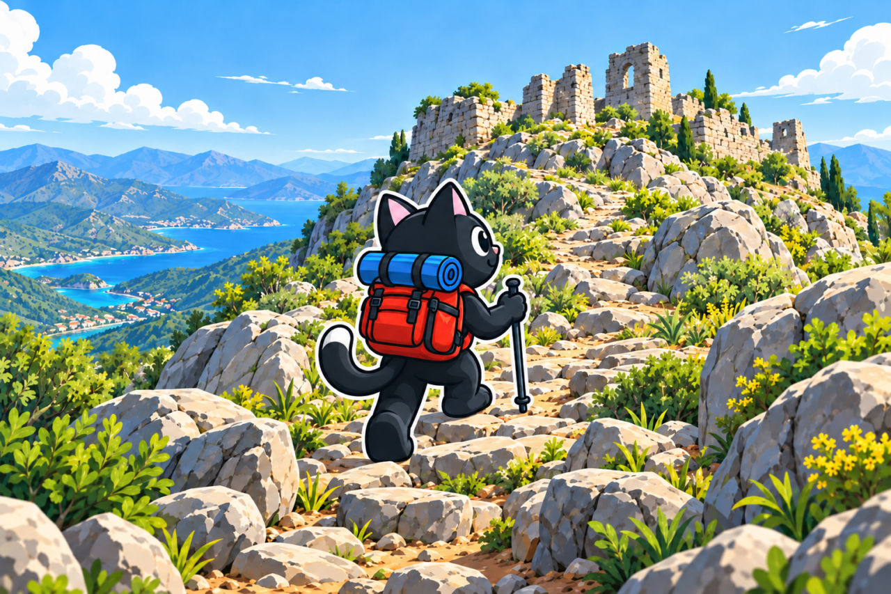
Çandır Castle (Turkish: Çandır Kalesi) stands on a rocky promontory above a valley west of Antalya. The route passes through pine forest, descends into the Çandır River canyon, and then climbs for a long time to the ruins. This terrain makes the hike feel more substantial than its distance might suggest.
The Route
The trail first loses elevation as it enters the canyon of the Çandır River. Its depth is easy to appreciate from below, with steep cliffs and forested slopes rising above the river. Farther downstream, the Çandır joins the Doyran and Karaman rivers to form the Boğaçayı, which reaches the sea at Konyaaltı Beach.
A prolonged climb to the castle begins after the canyon. Conserve energy here: even the short option has significant elevation gain. Before leaving, check the elevation profile of your chosen track and estimate the time, allowing extra for the descent and climb.


About the Castle
Çandır survives as a small group of ruins. The fortress is associated with the Byzantine and Ottoman periods. Its fortifications occupied a rocky site about 80 meters across. The gate and a round tower, probably a later addition, can still be made out in the eastern part. The Lycian Way passes nearby.
Do not stand on the walls, and leave stone fragments where they lie. Download a GPX track for the forest and ruins, and check the current visitor rules.


The View from the Rock
The high point offers a broad panorama of the canyon, forest, and surrounding ridges. The viewing area ends at a sheer cliff. Stay well away from the edge, especially in strong wind, after rain, and while taking photographs.
Effort and Gear
The descent into the canyon and the climb that follows create most of the effort. On the rocky trail, you need footwear with grippy soles and confident movement on climbs and descents. Save energy for the return. If someone in the group is slowing noticeably, decide whether to turn back before the final climb.

There are no confirmed water sources on the route. Calculate what you need in advance from the length and the day’s conditions, using the guidance on how much water to carry. A day hike also calls for food, a first aid kit, a flashlight, and footwear with stable soles.


Our Hikes
February 10, 2024. 8.6 kilometers, 430 meters of ascent, and a high point of 850 meters. This is the shortest of the three saved options.
June 2, 2024: 12 kilometers and 540 meters of ascent. January 19, 2025: 12 kilometers, 740 meters of ascent, and a high point of 840 meters. Before repeating one of these outings, check the entire route and the forecast for an elevation of around 850 meters. Tell someone your return time.