All the routes in this collection can be completed in a day with a departure from Antalya and a return by evening. Here, they are arranged by difficulty, from short walks to mountain days with more than a kilometer of elevation gain. The figures come from our tracks.
How to Assess Your Level
Two figures determine difficulty: distance and elevation gain. If you have only walked around the city before, begin with easy routes and see how you feel on the ascent and the following day. The intermediate level is suitable for those who comfortably walk 10 km with 400–500 m of elevation gain. Difficult routes require experience of long days in the mountains and training.



Easy
Up to 10 km and up to 400 m of elevation gain. Suitable for a first outing, a walk with children, or a half-day trip.
- Lyrboton — 5 km, 110 m. Take the T3 tram to the Varsak terminus, then walk for approximately 30 minutes; for the sunset option, arrive early because the sun disappears behind the mountains before the calculated time.
- Easy Tünektepe — 5 km, 360 m. You can reach the trailhead by city bus, but the climb begins almost immediately.
- Mountain jacuzzi — 5 km, 150 m. A summer outing to the water with swimming.
- Güver Canyon, short track — 8 km, 200 m. A shortened, almost level route.
- Termessos — 6 km, 150 m. A tour of the ruins from the parking area.
- Easy Phaselis — 6 km, 130 m. The route west of Çamyuva follows the sea past beaches to the ancient city.
- Göynük Canyon — 5–6 km from the entrance, 130 m; with the walk from the dolmuş, the distance is approximately doubled.
- Suluada — 6–7 km on the island, reached by boat.
- Selge and the Avatars — 10 km, 230 m. A gentle route, but the drive to the starting point is long.

Intermediate
10–17 km or 400–700 m of elevation gain. You need comfortable footwear, a water supply, and experience with ascents.
- Tünektepe: to the white rocks or the cable car pylon that broke in 2024 — 6 km and 460–490 m; a loop through the forest with ruins and a waterfall — 15 km and 540 m.
- Lake Doyran and the monastery — 16 km, 330 m. A peaceful loop with a gentle ascent; swimming in the lake is prohibited.
- Güver Canyon on both sides — 15 km, 350 m. The distance, not the terrain, creates the effort here.
- Karadağ — 10 km, 590 m, with a summit at approximately 2,000 m.
- Çandır Castle — 9–12 km, 430–740 m.
- Plane tree near Yayla Kuzdere — a loop of approximately 10 km with noticeable elevation gain and a descent along a mountain trail; you can drive to the plane tree itself.
- Neapolis — 13–16 km, 330–720 m. Our long option began at Doyran and passed through the monastery; for a shorter outing, you can drive closer to the ascent.
- Geyikbayırı caves — 17 km, 560 m.
- Trebenna — approximately 16 km along an easy mountain road, with a visit to the ancient city and a finish at a café on the water.
- Çalış and Stone Bay — options include a technically easy route, loops with views, and an ascent to the swing; the long option to the white cliffs includes a difficult descent over loose ground. According to our tracks: 8–12 km and 430–730 m of elevation gain.
- Chimaera flames — a short paid ascent from Çıralı or 15 km from Beycik, with 380 m of elevation gain and mostly downhill.
- Gedelme and the bridge — 15–17 km, 115–500 m.
- Phaselis from Kuzdere — 15 km, 440 m. A descent to the sea followed by a route along the shore; you can finish in Tekirova.
- Tekirova and the beaches — 13–19 km, 480–690 m.
- Selge–Tazı Canyon — 12 km, 690 m.







Difficult
18 km or more, or 700 m or more of elevation gain. Set out on these routes early in the morning with enough water and food for the entire day and a plan for where you can shorten the route.
- Olympos and Çıralı — from 9 km and 800 m to 19 km along the Lycian Way.
- Gelidonya Lighthouse: our out-and-back route was 20 km long with 730 m of elevation gain; the route from Karaöz to Adrasan via the lighthouse is approximately 22–24 km.
- Tünektepe with an ascent to the summit — 10 km, approximately 900 m of total elevation gain, and 300 m with a fixed cable at the end.
- Termessos with a descent into the valley — 22 km, almost 1,000 m. The trail may be overgrown; at the bottom, you need to cross a canyon and reach a mountain road, where transport must be arranged in advance.
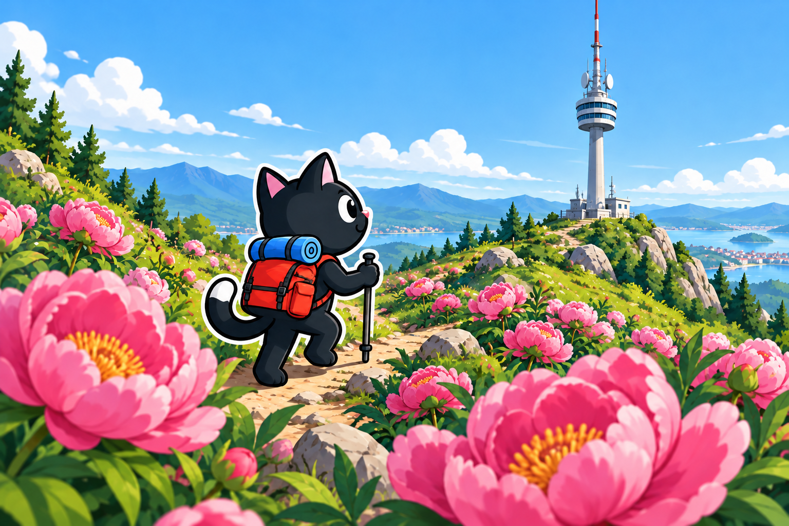
- TV tower and peonies — our spring option was 25 km long with 1,010 m of elevation gain and a high point of 1,793 m. To climb directly to the summit, you can drive closer and shorten the distance.
- Mount Tahtalı — 21 km, almost 1,500 m, with a 2,365 m summit.
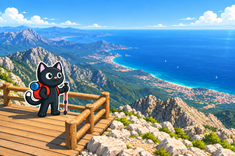


How to Prepare for the Day
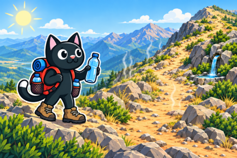
Every route on the list requires the same basic kit: water, food, a layer of clothing for wind, a first-aid kit, a charged phone with a GPX track, and a flashlight. For easy routes, 1–1.5 liters of water is enough; difficult routes in summer require 3 liters or more. Assume that you will not be able to refill your water along the way.
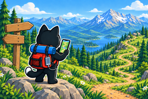

Before setting out, leave your route and return time with family or friends and check the forecast for the route’s elevation. On Mount Tahtalı, Karadağ, and near the TV tower, the elevation is approximately 1,800 m or higher. It is colder and windier there than in the city, and snow may remain at the summit in spring.