This page brings together the main part of our routes from Antalya since autumn 2022: mountains on the city’s outskirts, canyons, ancient cities, sections of the Lycian Way, and the Kemer coast. All options in the overview are day routes: each can be completed within daylight hours. Every place has its own page with route options, directions to the trailhead, and our hikes. This overview helps you choose where to go.
How to Read the Figures
For each place, the distance, elevation gain, and high point are given according to our tracks. Where there are several options, the figures are given as a range. The shortest outing in the collection is 5 km with approximately 100 m of elevation gain, and the hardest is the ascent of Mount Tahtalı: 21 km with almost 1,500 m uphill.
Elevation gain says more about the effort than distance does. A 15 km route with 300 m of gain can be completed comfortably, while 10 km with 600 m already requires preparation. Before setting out, compare the figures with your experience and plan the route with extra time.
Antalya
Routes within the city and in the nearest suburbs. Most starting points can be reached by public transport or taxi, making them convenient for a half-day outing or a hike after work.
Tünektepe
Tünektepe stands on the western edge of Antalya. From many districts, you can reach the trailhead by bus in 30–60 minutes. The climb begins almost immediately, and the first section follows a mountain road with views of the city.
The short “easy” option is 5 km long with 360 m of elevation gain. The route to the white rocks and the cable car pylon that broke in 2024 is approximately 6 km long with 460–490 m of gain. You can rest here and return without entering the difficult section with the cable.
The full ascent to the summit is approximately 10 km long with 900 m of total elevation gain. The last 300 m follow a fixed cable, and the return route can be taken along a 5-kilometer paved road with views. A 15 km loop around the mountain runs mainly through the forest, past ruins and a small waterfall.
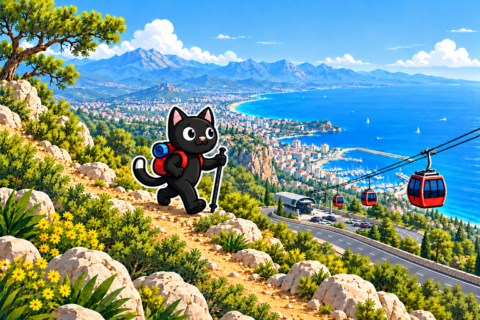
Lake Doyran and the Monastery
A route close to Antalya: you can even reach Doyran by bicycle. From the lake, there is a peaceful loop with a visit to the ruined monastery above the shore. Our track is 16 km long, with 330 m of elevation gain and a high point of 570 m. Swimming in the lake is prohibited.
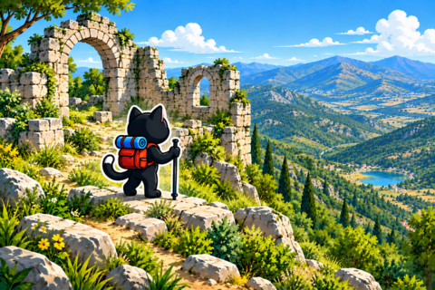
Güver Canyon
The usual Güver tracks are among the easiest: they follow an almost level plateau above the canyon. You can walk along each side separately or combine them into a route up to 15 km long. The dry waterfall is right beside the trail, but approaching its edge is dangerous: the channel ends at a cliff more than 20 meters high. A difficult combination with a descent to Kapuz and the mountain jacuzzi is approximately 17 km long with 650 m of elevation gain.
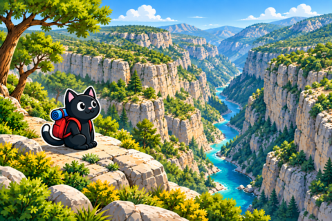
Kapuz Canyon and the Mountain Jacuzzi
A canyon next to Güver and stone pools filled with water that we call the mountain jacuzzi. This is a summer route: we hiked here from May through August and went swimming. The short outing to the jacuzzi is 5–6 km with 150–430 m of elevation gain, while the long route through the canyon is 14 km with 615 m of gain.
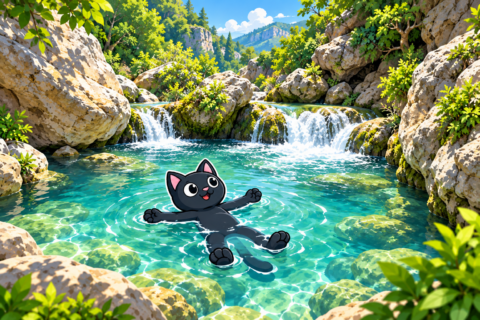
Lyrboton
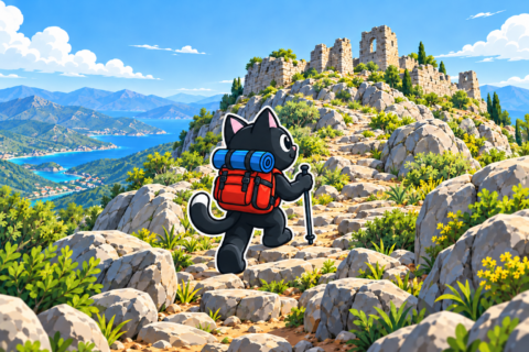
Lyrboton Kome is one of the tracks closest to Antalya: take the T3 tram to the Varsak terminus, then walk for approximately 30 minutes to the trailhead. A short walk through the well-preserved ruins on the open plateau and in the forest is 5 km long with 110 m of elevation gain. The loop through the surrounding hills with an approach to a cave is 9 km long. In the evening, the ancient walls are beautifully lit, but the sun disappears behind the mountains before the official sunset time.
Geyikbayırı Caves
Geyikbayırı is a rocky area west of the city known among rock climbers. Our route through the caves is 17 km long with 560 m of elevation gain and a high point of approximately 660 m.
Trebenna
The ancient city is hidden in a pine forest in the mountains above Geyikbayırı. There are small caves nearby, and after exploring the ruins, you can walk approximately 16 km along an easy mountain road to a café standing over the water. We hiked here in spring and autumn.

Termessos
The best-known ancient city in the mountains near Antalya. A short tour of the ruins is 6 km long with 150 m of elevation gain from the parking area. The long option with a descent to the canyon is 22 km long with almost 1,000 m of gain and requires a full day.
Neapolis
We climbed to the ancient city from Lake Doyran with a visit to the monastery, but it is possible to drive closer to the beginning of the ascent. Tombs and the remains of buildings survive at the top, with views over the Antalya valley. Our two tracks were 13–16 km long with 330–720 m of elevation gain. The ascent is not easy but is accessible to people with ordinary physical fitness.
Çandır Castle
A picturesque route descending into the Çandır River canyon and climbing to the fortress ruins. At the top, there is a sheer rock with views over the valley. The route is 9–12 km long, with 430–740 m of elevation gain depending on the option.
Plane Tree
A protected Oriental plane tree west of Gedelme, near Yayla Kuzdere. It is estimated to be approximately 1,000 years old, and its trunk is more than four meters in diameter. You can drive to the tree. A ten-kilometer mountain loop, a long route through Gedelme to the bridge north of Kemer, and a difficult northern ascent of Mount Tahtalı all begin here.

Karadağ
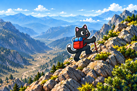
A summit at approximately 2,000 m. The route is 10 km long with 590 m of elevation gain: the car covers most of the elevation, leaving less than 600 m of climbing on the trail. We hiked it in late April.
TV Tower and Peonies
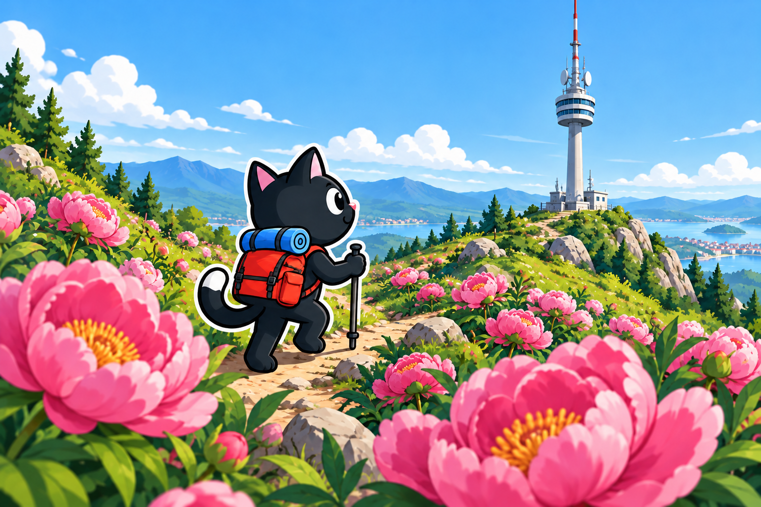
The abandoned TV tower stands on the mountain ridge behind Tünektepe and can even be seen from the beaches of Konyaaltı. We went there in mid-March after a walk to see flowering peonies.
Our option was 25 km long with 1,010 m of elevation gain and a high point of 1,793 m. If you are going only to the summit, you can drive closer and shorten the walking section. The ascent follows a mountain road with a gentle gradient.
Snow may remain at the top in spring, so suitable footwear and extra time are necessary. The summit offers an expansive view of the Antalya valley, the coast, and the mountain ranges.
Kemer and Olympos
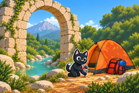
The coast southwest of Antalya and the mountains above it. Sections of the Lycian Way pass through here, ancient cities stand by the sea, and the highest point in the collection, Mount Tahtalı, is located here. People come here for a full day, while at Olympos and Çıralı, it is convenient to stay overnight at a campsite. An overall picture of the area is provided in the article about hikes around Kemer.
Çalış and Stone Bay
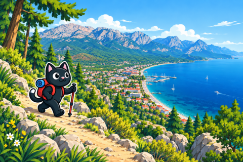
Mount Çalış, approximately 320 m high, rises above Kemer. A technically easy route is suitable for an introduction to hiking, and you can walk to the trailhead from the dolmuş stop. The loop with picturesque views is 8–9 km long with 430–670 m of elevation gain; you can also climb to the swing or descend to a small bay with white cliffs. The descent to the bay is loose underfoot and noticeably more difficult.
Göynük
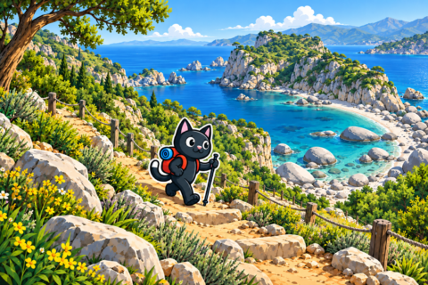
A canyon near the village of Göynük, with immense slopes and a convenient mountain road. From the entrance, there is a very easy walk of 5–6 km. Arriving by dolmuş adds a walk from the highway and approximately doubles the total distance. The canyon is connected to two neighboring sections of the Lycian Way; our 12-kilometer descent from an elevation of approximately 900 m required good mountain fitness.
Gedelme and the Bridge
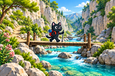
From Gedelme, you can walk to the old stone bridge in Kesme Boğazı along the Lycian Way beside Sapan Dere Canyon or take a simpler parallel mountain road. Before starting, it is convenient to see the fortress and enormous plane tree in the village itself. The long option begins at another giant plane tree near Yayla Kuzdere, passes through Gedelme, and leads to the same bridge; our hike was 17 km long with approximately 115 m of elevation gain.
Phaselis
An ancient city on the seashore with three harbors. The easy route runs west of Çamyuva along the sea and beaches; our track was 6 km long with 130 m of elevation gain. The long option begins in the southern part of Kuzdere, descends to the sea, and then repeats the coastal section; our route was 15 km long with 440 m of gain. You can finish in Tekirova or return the same way.
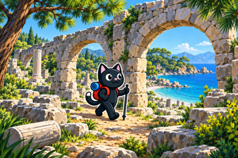
Tekirova and the Beaches
Routes along the coast near Tekirova with access to beaches. They are 13–28 km long with 300–690 m of elevation gain. In summer, they can conveniently be combined with swimming.
Chimaera Flames
The natural burning gas vents can be reached in approximately 30–40 minutes from the paid entrance in Çıralı. The long option follows the Lycian Way from Beycik: 15 km, 380 m of elevation gain, and a start at an elevation of approximately 890 m. You can finish the route at the flames or continue descending to Çıralı.

Olympos and Çıralı
The ascent to Olympos is 15 km long with 770 m of elevation gain. From Çıralı, we walked to the “tractor”: 9 km with 800 m of elevation gain; the long option with a descent is 18 km. Half of the Lycian Way section from Çıralı to Tekirova can be completed in a day: 19 km with 690 m of gain.
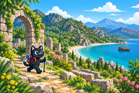
Gelidonya Lighthouse
The out-and-back route to the lighthouse on Cape Gelidonya follows the Lycian Way along the sea. Our track was 20 km long with 730 m of elevation gain. The full point-to-point route from Karaöz via the lighthouse to Adrasan is approximately 22–24 km long and requires transport arranged in advance at the finish.
Suluada
An island off Adrasan that we reached by boat. The walk on the island itself is 6–7 km. A summer outing where the sea takes up more time than the trail.
Mount Tahtalı
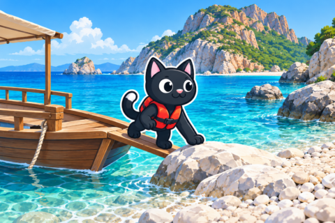
A 2,366 m summit and the greatest elevation gain in the collection: 21 km with almost 1,500 m uphill. A cable car goes to the summit, but we climbed on foot. The route requires good preparation and an early start.
Selge and Köprülü
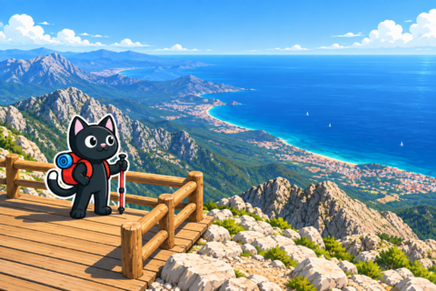
Mountains east of Antalya, in the Köprülü Canyon area. The journey here is longer, so the outing takes a full day.
Selge and the Avatars
An ancient city in Altınkaya village and surrounding rock pillars known as the Avatar Valley. The route is 10 km long, with 230 m of elevation gain and an elevation of approximately 950 m.
Tazı Canyon
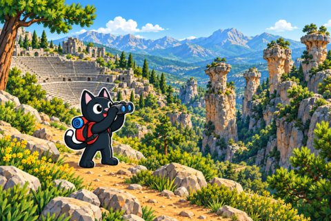
A canyon with sheer walls near Selge. You can walk there from Selge: 12 km with 690 m of elevation gain. Down below, in Köprülü, we went rafting.
Saint Paul Trail
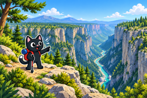
A multi-day trail that begins near Perge and Aspendos and heads north through Köprülü Canyon to Yalvaç. The article brings together its sections near Selge that can be walked in a day.
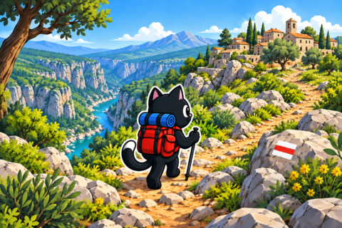
Kaş and Western Antalya
The most distant area in the collection. It is worth going for at least two days:
- routes around Kaş — the coast, coves, and mountains above the city;
- Kalkan and Patara — an ancient city and a long sandy beach;
- Saklıkent Canyon — a narrow gorge with icy water;
- multi-day routes — routes with overnight stays.
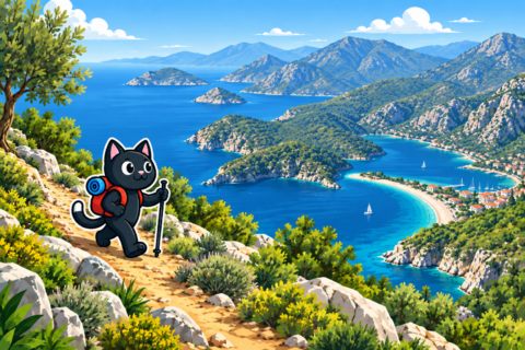
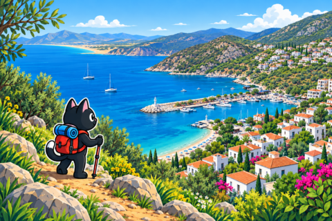
The Lycian Way
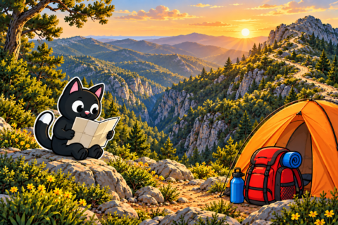
Some of the routes above follow the Lycian Way: Göynük, Gedelme, Chimaera, Çıralı, and Gelidonya. A separate article lists the sections that can be completed in a day with a departure from Antalya. If you are planning a multi-day route, start with routes for beginners and learn about water and overnight stops in advance.
Where to Go in Each Season
Based on our dates, the routes divide well by season.
- Winter and early spring: Tünektepe, Güver Canyon, Lyrboton, Neapolis, Trebenna, Çalış. Low-elevation routes that are comfortable in the cool season.
- Spring: Termessos, Karadağ, the TV tower, and Mount Tahtalı. Mountains above 1,000 m are more comfortable before the summer heat.
- Summer: Kapuz and the mountain jacuzzi, Tekirova, Phaselis, Suluada. Routes by the water where you can swim, and canyons with waterfalls.
- Autumn: a return to long routes—the Lycian Way, ancient cities, Selge, and Tazı.
The weather changes faster in the mountains than on the coast, so check the forecast and seasonal conditions for your chosen elevation before setting out.
Collections
- Day hikes — the same routes arranged by difficulty.
- Getting there from Antalya — buses, dolmuşes, rental cars, and taxis to the trailheads.