This article brings together sections of the Lycian Way that are convenient to reach from Antalya: routes near Göynük, Gedelme, Beycik, Çıralı, and Cape Gelidonya. They can be walked as separate day routes or combined into a multi-day hike.
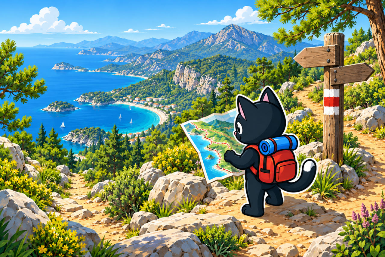
The Lycian Way begins very close to Antalya and heads west from here along the coast. You can therefore walk the route in separate sections or begin a multi-day hike directly from Tünektepe, gradually moving toward Göynük and farther along the trail. This article mainly covers the eastern sections, from the Antalya area through Göynük, Mount Tahtalı, and Çıralı to Adrasan. They cross higher and more rugged terrain and are generally more difficult than the western part near Fethiye and Ölüdeniz.
Main Sections
Göynük
Two neighboring sections of the Lycian Way meet at the canyon. One heads through Göynük Yaylası toward Gedelme, and the other goes via Sarıçınar to Hisarçandır. Both options require experience, offline navigation, and a separate transport plan.
One option for descending into Göynük begins at an elevation of approximately 900 m and is 12 km long. It follows a true mountain trail. The rocky terrain and long descent put strain on the knees, so it is best to maintain a steady pace on the descent.

From the entrance, you can take an easy 5–6 km walk through the canyon. If you arrive by dolmuş, the entrance is another 3.5–4 km on foot from the highway, so the entire day is approximately twice as long. Mark the stop in advance and check your return transport; you can travel out through Kemer.

Gedelme and the Roman Bridge
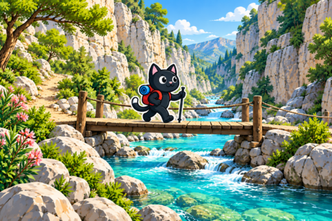
The giant plane tree is located near Yayla Kuzdere, west of Gedelme. From there, you can head east through Gedelme, with its Byzantine fortress and a second enormous plane tree, and then continue to the old bridge in Kesme Boğazı.

A section of the Lycian Way leads from Gedelme to the bridge: first north, then east to Sapan Dere Canyon and along it from north to south. A simpler mountain road runs alongside it and ends at the same bridge. Our route from Yayla Kuzdere to the bridge was 17 km long with approximately 115 m of elevation gain, so its main challenge is the distance. Estimate your time in advance and leave extra time for the plane trees, fortress, and bridge.



Beycik, Chimaera, and Çıralı
The route from Beycik to the Chimaera flames begins at an elevation of approximately 890 m. Over 15 km, the route gains approximately 380 m and is mostly downhill. You can finish at the flames or continue descending to Çıralı. You will need an admission ticket if you exit through the lower Yanartaş ticket office, and it is best to choose a meeting place for transport before you start.
This option connects a mountain village, forest, and coast. If you stay at Chimaera until dusk, the final part of the route will be in low light, so your flashlight should be packed at the top of your backpack. For a relaxed pace, it is useful to decide in advance exactly where your day will end.

Çıralı, Olympos, Adrasan, and Tekirova
West of Çıralı, the Lycian Way passes through ancient Olympos, climbs Mount Musa (Turkish: Musa Dağı), and continues to Adrasan. The full point-to-point section includes a long ascent and descent. According to our track, a shorter loop above Olympos was 15 km long with 770 m of elevation gain, and the descent led directly to the city ruins.
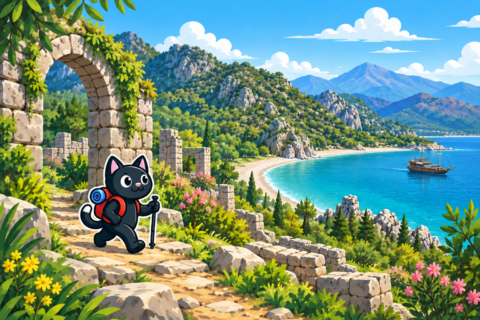
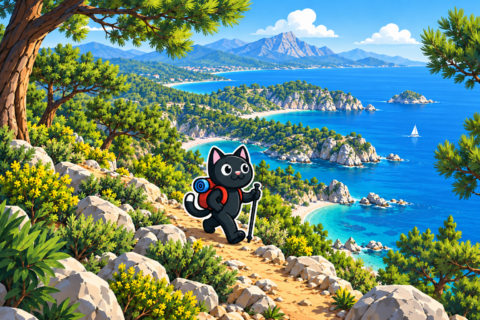
To the east, you can walk from Çıralı to Tekirova along the wooded coast and small coves. The full route runs beside the sea almost the entire way and is approximately 21–22 km long. It is a difficult and lengthy point-to-point route: from the Tekirova side, the first half follows a mountain road, and after the “tractor,” it continues along a mountain trail.
From Çıralı, we also walked to a point we call the “tractor”: 9 km with approximately 800 m of elevation gain. The long option with a descent is 18 km. Even the short route is steep here, so extra time in the morning helps you complete the climb without rushing and save energy for the rocky descent.
Cape Gelidonya
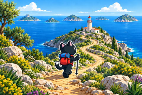
You can take an out-and-back route to the lighthouse from a starting point south of Karaöz. The trail follows the sea past coves and beaches, then gains elevation gently before the lighthouse. Our route there and back was 20 km long with approximately 730 m of elevation gain.
From the lighthouse, the Lycian Way continues to Adrasan. The full point-to-point route from Karaöz is approximately 22–24 km long, so it requires an early start, enough water for the whole day, and transport at the finish. Spring and late autumn are better: we found this section difficult in September because of the heat.

How to Choose Your Route
- For a short walk by the water, choose Göynük Canyon, 5–6 km from the entrance.
- For a long route with little elevation gain, the route from Yayla Kuzdere to the bridge is suitable: 17 km with approximately 115 m uphill.
- For a descent from the mountains to the sea, consider Beycik and Chimaera, choosing in advance whether to finish at the flames or in Çıralı.
- The sections above Çıralı and Olympos require readiness for 690–800 m of elevation gain.
- Save Gelidonya Lighthouse for the cool season and for when you have experience with routes of 20 km or more.
Logistics from Antalya
Point-to-point routes have different start and finish locations. Two cars, a driver arranged in advance, or locations connected by local transport are suitable for them. Timetables of small transport operators change, so an old report about a service cannot be treated as a guarantee for the day of your hike.
Before setting out, save the start, finish, and stops on an offline map. It is easier to show a driver a map pin than to explain the name of a forest trail, and reception may be lost after the route. For Beycik, Çıralı, and Gelidonya, confirm the return meeting place and acceptable waiting time separately.
Season and Preparation
Based on our outings, the coastal routes are more comfortable in spring and autumn. The September heat made the route to Gelidonya noticeably more difficult for us, and shade is not always available on a long exposed route. Before your trip, check the forecast for the route’s elevation, forest closures, and fire restrictions.
Your backpack should contain water, food, a windproof layer, a first-aid kit, a charged phone with a GPX track, and a flashlight. Calculate the amount of water based on the weather and length of the day; information about water sources must be confirmed before every outing. When the group is slower than usual, a reserve of water and daylight allows you to complete the route without rushing.