You can reach routes around Antalya by a district bus or dolmuş, taxi, transfer, rental car, or bicycle. Check both the journey to the trailhead and the return journey from the outset.
Bus Station
Antalya Şehirlerarası Otobüs Terminali, or Antalya Otogar, is located in the Kepez district on Dumlupınar Bulvarı. Dolmuşes to Kemer, Kumluca, Korkuteli, and other districts of the province depart from here. Open the bus station in Google Maps.
It takes approximately an hour to walk from the MarkAntalya shopping center to the bus station. The tram is faster: at the Muratpaşa stop, board any T1 service toward Fatih and get off at Otogar.
Inside the complex, look for Şehirlerarası Terminali for intercity buses or İlçeler Terminali for services within the province. For Kemer, Kumluca, and Korkuteli, you need İlçeler Terminali.
Dolmuşes
A dolmuş is similar to a shared minibus: it follows a fixed route and stops along the way. The bus station is the easiest place to board one. Transport toward Beldibi, Göynük, and Kemer also travels along Atatürk Bulvarı, so you can wait at an official stop along the boulevard. Choose the side heading out of the city toward Kemer.
Before boarding, tell the driver the name of your destination or show its pin on the map. The bus station is more reliable for a group or an early departure: a vehicle may arrive full at an intermediate stop. You can reach Çalış above Kemer by dolmuş. City buses KL08, VS18, SD20, SD20A, KF52, ÜS29, and 400 go to Tünektepe—get off at the Sarısu Depolama terminus. The most direct option from the center is usually the KL08 because it does not detour through the Hurma district.
Taxi and Transfer
A taxi is usually the easiest way to reach the starting point: send the driver a map pin and ask whether the trip will be metered. Returning is more difficult—there may be no available car at a remote finish. Save the driver’s number in advance and arrange for them to pick you up after the hike.
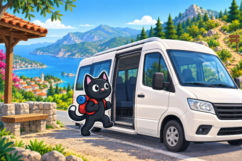
A transfer is convenient for a group and a point-to-point route. Send the driver the start and finish locations, time, number of passengers, and backpack sizes. Agree in writing on the price, waiting time, and travel on unpaved roads.
Rental Car
A car is convenient for remote and loop routes. Check the deposit, insurance, and permission to drive on unpaved roads. Save the map offline and do not leave the car blocking a road. For a point-to-point route, decide in advance how you will return to the parking area.
Bicycle
A bicycle is suitable for nearby trailheads, such as Lake Doyran. Add the journey there and back to the hiking distance, bring lights and a lock, and save enough energy for the return to the city.
Before Setting Out
Check the route and the last return service in Antalyakart or with the transport operator. Save the start, finish, stop, and driver’s contact details offline. If the start and finish are in different places, arrange the return first.


