This collection brings together hikes near Antalya that rise to approximately 800 m or higher, or begin on an elevated mountain plateau. Altitude affects temperature, wind, snow conditions, and walking speed, so it should be considered separately from total elevation gain. The figures below come from our tracks.

What Counts as a High-Altitude Hike
Maximum altitude is the highest point on the track above sea level. Elevation gain adds together every ascent during the day. A hike may start high and have moderate gain, as on Karadağ, or begin much lower and require a long continuous climb, as on Tahtalı.
For this page, we selected hikes with a highest point of approximately 800 m or more. Their difficulty varies considerably: the list includes a compact 10-kilometer outing and long mountain days of up to 25 km. If difficulty matters more than absolute altitude, use the day-hike collection, where hikes are arranged by distance and elevation gain.
Above 1,500 m
- Mount Tahtalı — a 2,365 m summit. Our hike was 21 km long with almost 1,500 m of elevation gain and a highest GPS reading of 2,366 m. This is the highest and most demanding ascent in the collection.
- Karadağ — approximately 2,000 m, 10 km, and 590 m of elevation gain. A car takes you high into the mountains before the walking section begins, making the hike comparatively compact, although summit conditions remain alpine.
- TV Tower and Peonies — the highest point on our track was 1,793 m, with 25 km of distance and 1,010 m of gain. The ascent follows a mountain road with a gentle gradient; snow may remain at the top in spring.

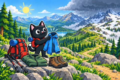
On these hikes, the forecast for Antalya does not describe conditions at the top. Temperature, cloud, and wind change with altitude, while exposed slopes provide little protection from sun or bad weather.

High Plateaus and Mountain Traverses
- The plane tree near Yayla Kuzdere — Gedelme and the bridge. Different options reach elevations of approximately 1,133 m, cover 17–20 km, and involve up to 500 m of gain. You can build either a loop or a point-to-point hike along mountain roads and sections of the Lycian Way.
- Termessos — the ruins stand at approximately 1,050 m. A short visit from the parking area covers about 6 km, while the long option descending toward the canyon is 22 km with almost 1,000 m of gain.
- Selge — Tazı Canyon. This point-to-point hike begins on a plateau at approximately 950 m and covers 12 km with about 690 m of gain. Total descent reaches approximately 1,100 m, so transport from the finish must be arranged in advance.
- Descent to Göynük — 12 km from a high point of approximately 900 m. Most of the hike loses elevation, but the long mountain descent requires stable footwork and good fitness.
- Beycik — Chimaera Flames — Çıralı — 15 km, 380 m of gain, and a start at approximately 890 m. The hike follows mountain roads and trails, crosses a small river, then climbs before beginning the final descent to the flames.
- Çandır Castle — 9–12 km, a highest point of up to 850 m, and 430–740 m of gain. The hike combines a descent to the river with an ascent to the fortress ruins and an exposed cliff above the valley.


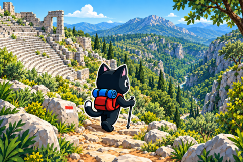
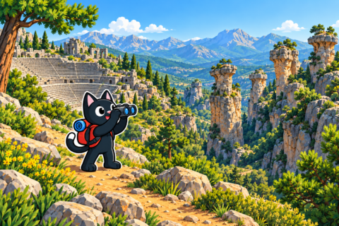
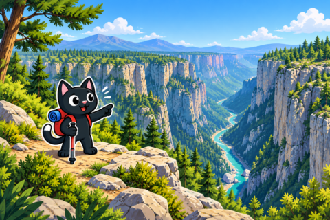

Some of these hikes are point to point. For Selge–Tazı, Beycik–Çıralı, and the high sections above Göynük, arrange transport to the start and from the finish in advance. Plateaus and forests contain junctions, so save the exact GPX track for your chosen option.


How to Choose a Hike
Karadağ is a practical first introduction to altitude: the walking section is shorter and the trailhead can be reached by car. Termessos allows you to choose between a short visit to the ruins and a full long traverse. Hikes through Selge, Beycik, and Göynük suit hikers who are comfortable with prolonged descents and know how to organize a point-to-point hike.
Tahtalı and the full hike to the TV tower require experience of long mountain days. Before setting out, compare the planned distance and gain with your recent hikes, set a turnaround time, and leave enough energy and daylight for the descent.


Weather and Equipment
- Check the forecast for conditions at the route’s highest elevation, including wind, cloud, precipitation, and snow conditions.
- Bring a warm layer and windproof jacket, even when it is warm by the sea.
- Wear hiking footwear with a grippy sole for rock, scree, and long descents.
- Calculate water for the whole day: most hikes have no confirmed water sources.
- Save an offline map and bring backup power for your phone.
- Keep a headlamp with spare power accessible in case of delay.
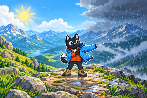
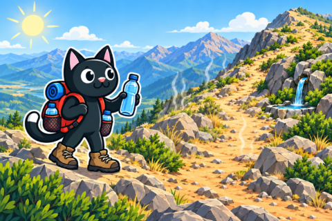



Snow may remain on high summits in spring, exposed slopes heat up quickly in summer sun, and daylight becomes shorter in autumn. Check conditions before every outing: the same altitude in different months requires different equipment.


