Weather and season determine trail condition, water availability, and equipment needs. This guide explains how to use both when choosing a route.
Look beyond one icon
Open detailed forecasts for several route points because the town below, a pass, and a valley may differ in temperature, wind, and precipitation. Starting conditions do not explain the upper route. Check hourly precipitation probability and amount, gusts, cloud, storms, and visibility.

Mountain temperature generally falls with elevation, though the exact difference varies. Warmth in town does not describe how the higher trail feels. An official mountain forecast or nearby weather station is more useful than a city widget. Compare two reliable sources; their disagreements show where uncertainty remains.



Study preceding weather
One sunny day after a week of rain will not dry the ground. Fords remain high, roots slippery, and dirt roads difficult even on the approach. Warm weather can also destabilize snow. Current reports from land managers, rescue services, and recent hikers help assess effects in particular places.
Check local hazards and restrictions: floods, avalanche bulletins, storm warnings, fire bans, and forest or road closures. A colored alert needs its official explanation. A closed access road can affect the trip before hiking begins.

Account for the season
- Spring: mud, cold water, washed-out bridges, and snow in shaded places.
- Summer: heat, thunderstorms, water shortages, ticks, and high fire danger.
- Autumn: short days, fog, wet leaves, first frosts, and early snow.
- Winter: deep snow, ice, fast battery drain, closed access roads, and hypothermia risk.


The calendar indicates a season, but local conditions depend on terrain. High mountains can retain winter into early summer. Snow leaves a south-facing slope far earlier than a neighboring shaded valley. A route crossing both encounters different surfaces in one journey.
Match the plan and equipment
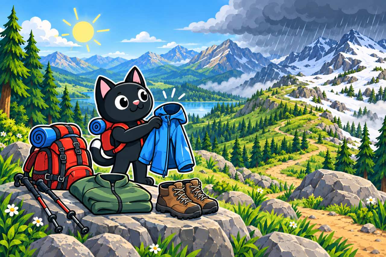
Define responses to expected changes: stronger wind may require bypassing a summit, while heat requires an early start and more water. A thunderstorm excludes an exposed ridge, so weather affects the route line. Layer clothing, keep rain protection accessible, and seal a dry change of clothes even if other items become wet.

State change criteria in advance: strong wind on exposed ground, an approaching storm, or worsening visibility. Use official alerts, local guidance, and participants’ actual skills. A familiar crossing can become difficult when the trail is hard to see. Choose sheltered ground for unfamiliar conditions.
Check conditions along the way
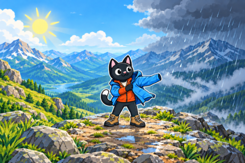
Update the forecast in the morning and tell contacts about important changes. Watch sky, wind, temperature, and trail conditions during the route. Rapidly growing clouds, distant thunder, and sudden cooling require timely decisions.

Canceling can feel unfinished, though the route remains for a better day. Record the information behind the decision while tied to a date and place. Over time, observations become a personal guide to the area’s seasons.
Leave room for change
Prepare a short sheltered route, cultural activity, or free day. Abandoning a risky outing can then preserve the trip in another form. Agree on substitution criteria in advance so the morning decision rests on facts rather than defending money and effort already spent.
After returning, compare the forecast with observed temperature, wind, precipitation, and ground at specific points. Differences between valley and pass show how expectations applied to each section. Comparing notes with sources reveals which best describes the area.