Offline maps help you navigate where mobile coverage is unavailable. This guide explains how to prepare your data, test the app, and create a backup.

Download a wider area than you expect to need
The downloaded area should include the approach, your route, alternative exits, and the nearest settlements. If you save only a narrow strip around the track, a deviation may take you beyond the available map. You will need the surrounding area precisely when the trip no longer follows the plan. Inspect the map at several scales: some trails and labels visible online may be missing from the downloaded package.
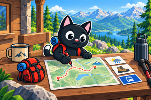
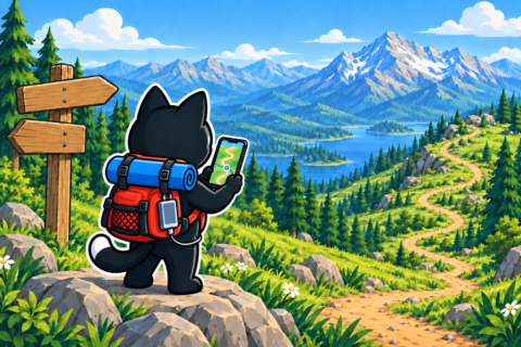
For hiking, choose a layer that shows terrain, trails, and water features. Mark the start, finish, difficult junctions, water sources, and possible exit points. A map may show a crossing, but its symbol cannot tell you the crossing’s current condition. Save descriptions of such sections and any closure information separately so they remain available without a connection.

Test the app
Take a familiar walk with airplane mode enabled to test the app offline. Allow it to access your location and confirm that it shows your position without a network connection. Satellite positioning normally works without mobile data, so lack of coverage does not by itself prevent the phone from finding your current point. The map background must be downloaded in advance; otherwise, your position marker may appear without any surrounding landmarks.
During the test, see how the app displays accuracy and direction. Under dense tree cover, near cliffs, and among tall buildings, the position can jump and make route choices harder. If the marker suddenly shifts, stop and wait for a more stable signal. Then compare the reading with the terrain, roads, and cardinal directions to judge whether the display matches your surroundings.
Learn to work with coordinates
Find the current-coordinate screen in advance and understand its format. Decimal degrees can look similar to degrees and minutes, but the notation is different. When reporting a position to rescuers, read the values in full and state the latitude, longitude, and coordinate format so the recipient can interpret your location correctly. If the connection allows, a screenshot can supplement the spoken or written message.

Create separate waypoints for the vehicle, camp, and important junctions. Their labels should make sense to every group member. When someone opens your map for the first time, “point 7” says little about what the marker represents. A name tied to the actual location will help them relate it to what the group has discussed.


Conserve the battery
Charge your phone and power bank before setting out, and check the cable. Lower brightness, disabled background functions, and turning the screen off on straightforward sections all save power. A display left on continuously keeps draining your reserve even while you follow an obvious direction. In cold weather, keep the device closer to your body while protecting it from condensation and precipitation.


Airplane mode can reduce power use in areas with a weak signal. Phone settings vary, so test location services in airplane mode in advance. Otherwise, you may discover while checking the route that your usual settings do not behave as expected. Turn communications back on at the agreed time so conserving the battery does not prevent a planned check-in.
Create a backup
Give the map and track to a second participant on a separate device. If your phone fails, the group can open the saved data on someone else’s device. For difficult terrain, carry a paper map and compass if you know how to use them. A narrow printed screenshot rarely includes a scale, legend, or surrounding area, so the landmarks you need may disappear as soon as you leave the line.

Someone else’s track records the route they followed on a particular day. Since then, flooding, snow, a landslide, or a closure may have made that section impassable. If the line leads to a place that no longer looks as expected, stop and assess the safe options. Return to the last reliable point if outdated information no longer allows you to choose a safe way forward.
Important: navigation begins with attention to the terrain around you. Regularly note junctions and your direction of travel so you understand which section you are crossing. The screen can then confirm your observations when you need to check the route. Replacing all observation of the terrain with phone readings can create confidence that is unsupported by the conditions in front of you.
Prepare a short reference
Write down the app’s name, the coordinate format, and the location of saved files in a short reference. Show a second participant how to open the map, start recording, and find the current position. If the primary navigator becomes exhausted or injured, or loses the phone, someone else will have to take over. Practicing the necessary actions beforehand will let that person use the data without hunting through an unfamiliar menu.

After the hike, save the recorded track and note any map errors. Before the next trip, remove outdated copies so they do not become mixed with the prepared files. Similar names at a junction can lead you to open last season’s route. A current, clearly organized data set reduces the chance of this confusion when choosing where to go next.
If the app is updated before departure, repeat the offline test. A new version may change the menus, map storage, or location permissions, so the old sequence of actions may no longer work. You might discover, for example, that the required option has moved while you are trying to open the area. Complete updates at home, where you have time to understand the changes or return to a proven solution.