Travel time depends on distance, terrain, surface, and group pace. This guide explains how to estimate daily distance with a sensible margin.

Divide the route into sections
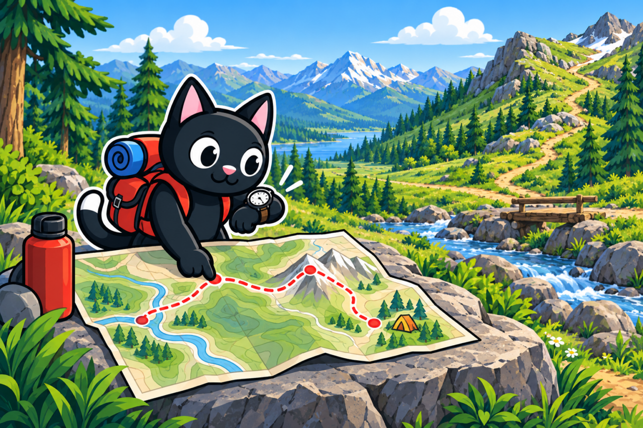
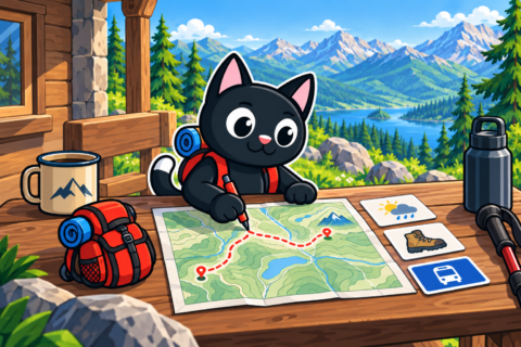
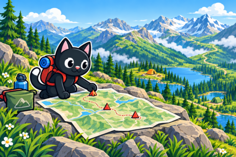
Mark turns, passes, water sources, rest areas, and campsites on the map. Record distance and elevation gain for every section to estimate travel between known features. At a source, you can see how much lies behind and ahead. Check map scale and units first so section lengths are comparable.
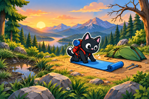
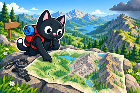
The finish elevation shows where you end but not the total climbing. A trail may descend and rise several times. Even a low finish can include substantial intermediate effort. Add the elevation gain of every climb and assess the complete profile.

Mark places that slow movement: mud, rocks, steep descents, vegetation, and hard-to-find turns. Navigation takes time in dense growth, so road speed is unsuitable for an unknown trail. If a route is described as easy but has no recent reports, add a margin for uncertainty.


Use your own pace
Use data from practice walks with a similar backpack and surface. Distinguish moving time from total start-to-finish time. An app may remove stops, so its walking hours do not predict arrival. Lunch and waiting for participants still consume the day.

Example: if hikers cover about three kilometers per moving hour on similar trail, nine kilometers require roughly three hours of walking. Add rests, meals, water collection, and navigation. Distance remains while the clock runs at a source or junction. This speed is only an example; your pace changes with terrain and cannot be transferred everywhere.
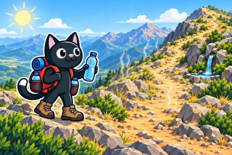
Plan group travel around the participant who needs more time. A shared practice walk tests this baseline under the chosen load. If one person reaches a rest point before the others, the shared break begins later than theirs. The fastest pace suits a personal plan; group arrival depends on slower members.

Calculate backward from the finish
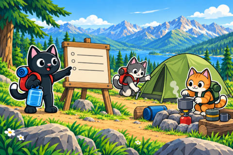
First choose when travel must end, considering daylight, camp setup, and return transport. Overnight trips need remaining daylight for camp. For a bus, calculate to the boarding place rather than the trail end. Allow time to reach and find the stop, especially when it is away from the finish.
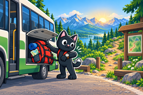
Subtract travel time, breaks, and a delay margin from the required finish to obtain the start time. A meal stop moves departure earlier even though trail length remains unchanged. This connects the morning start with evening commitments.

Example: you must reach the stop by 5:00 p.m., with four hours for walking, one hour for breaks, half an hour from trail to bus, and half an hour for delays. Start no later than 11:00 a.m. If transport reaches the trailhead only at noon, shorten the route or change transportation.
Set decision points
Choose a place and time after which the group turns back or takes the short option. If you have not reached a junction by the agreed hour, leave the distant section for another day. This works when everyone knows the rule and the route that follows, aligning expectations before departure.

Compare actual progress with the estimate before the end. Recalculate the remainder after a slow section. Rain may have changed the entire surface, so walking faster will not necessarily restore the schedule. Trying to recover time while ignoring new conditions ties the plan to a pace that no longer applies.
Multi-day hikes
Multi-day travel adds camp packing and drying gear while fatigue accumulates. Plan a shorter section after a hard day. Damp clothing can also delay the morning start. Keep flexibility among permitted campsites so each day’s plan can match actual progress.

After returning, save actual times for individual sections in a trail report. On a similar route, these are more useful than an online average because they reflect your experience. The duration of a familiar climb helps estimate a comparable one. A finish time alone cannot show where the delay occurred.
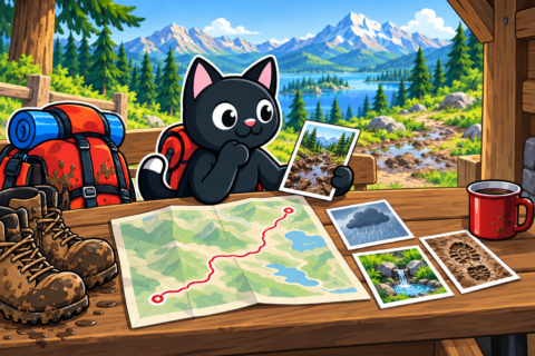
Record reasons for stops as well: waiting for the group, collecting water, navigation, and photographs. A junction delay and a rest pause explain the same duration differently. Several observations gradually refine your personal pace across surfaces and routine tasks.