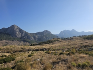
The eastern branch of the Saint Paul Trail passes through Selge. This modern waymarked trail follows old roads and mountain paths between the Mediterranean coast and Pisidian Antioch near present-day Yalvaç. It crosses the region through which the Apostle Paul may have traveled into the interior of Asia Minor, but it does not reproduce his journey path by path.
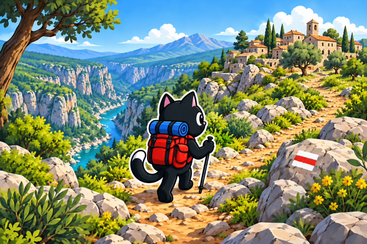
Two Southern Branches
The trail has two starting points. The western branch begins in Perge, while the eastern branch is associated with Aspendos and the Köprüçay valley. They meet in the mountains near the ancient city of Adada, after which the trail continues to Yalvaç. The complete route is about 500 kilometers long.
Selge lies on the eastern branch. The trail climbs from the Köprülü area to the ancient city, passes close to the theater, and continues through the Adam Kayalar conglomerate formations. We call these rocks the “avatars.”
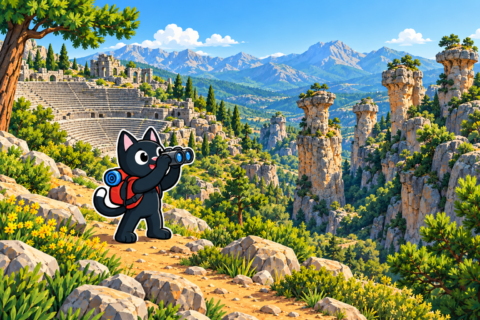
Why the Trail Passes Through Selge
Selge stood on old roads that linked the coast with the interior of Pisidia. Within the national park, stone bridges, sections of paved road, and archaeological remains from different periods have survived. The modern trail follows this historic logic of travel through the Taurus Mountains.

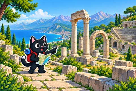
The section near Selge makes this especially clear. Within a few kilometers, city ruins give way to a village, stone towers, and forest. The narrow passages between the “avatars” look like natural gateways, although water and the weathering of conglomerate formed them.
What You Can Hike in a Day
You do not have to set out on a multi-day hike to discover the area. The loop through Selge and the “avatars” is about 10 kilometers long, gains 230 meters, and reaches an elevation of roughly 950 meters. It includes the theater, the ruins, and passages between green islands of open ground.

A harder option runs from Selge to Tazı. Our track covered 12 kilometers, with about 690 meters of ascent and roughly 1,100 meters of descent. This hike reveals the canyon terrain, but it should not automatically be treated as an exact stage of the official Saint Paul Trail. Compare the line of each outing with the current route and your own GPX track.


The Long-Distance Trail
The full hike requires separate preparation. Villages can be far apart, accommodation and shops are unevenly distributed, and waymarks change over time. New roads, forestry work, or vegetation may obscure old paint. Each stage requires a recent track, a confirmed place to stay, and an alternative exit plan.

Do not plan water supplies from an old map alone. Seasonal sources dry up, and some points lie away from the main trail. Before a multi-day hike, verify water sources and accommodation using a current trail guide or by asking the owners of the nearest guesthouses.


Our Hikes Near the Trail
On November 11, 2023, we hiked from Selge to Tazı: 12 kilometers with about 690 meters of ascent. On January 27 and April 21, 2024, we returned to Selge and followed hikes through the “avatars” ranging from 9.6 to 10 kilometers, with about 230 meters of ascent.

These outings help you understand the area crossed by the trail’s eastern branch. They are not a substitute for a stage-by-stage plan of the entire hike to Yalvaç. For a first visit, choose one day hike and do not try to connect distant parts of the trail in a single day.

Before You Set Out
- Download a current track and maps before the trip.
- Check the ascent, descent, and distance, as well as the location of the finish.
- Arrange a transfer if the hike does not return to Selge.
- Confirm water for every stage, overnight accommodation, and places where you can restock food.
- Leave your plan with someone and set a check-in time.