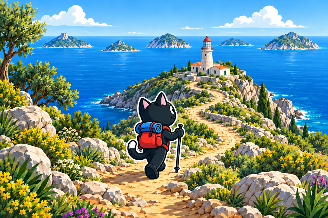
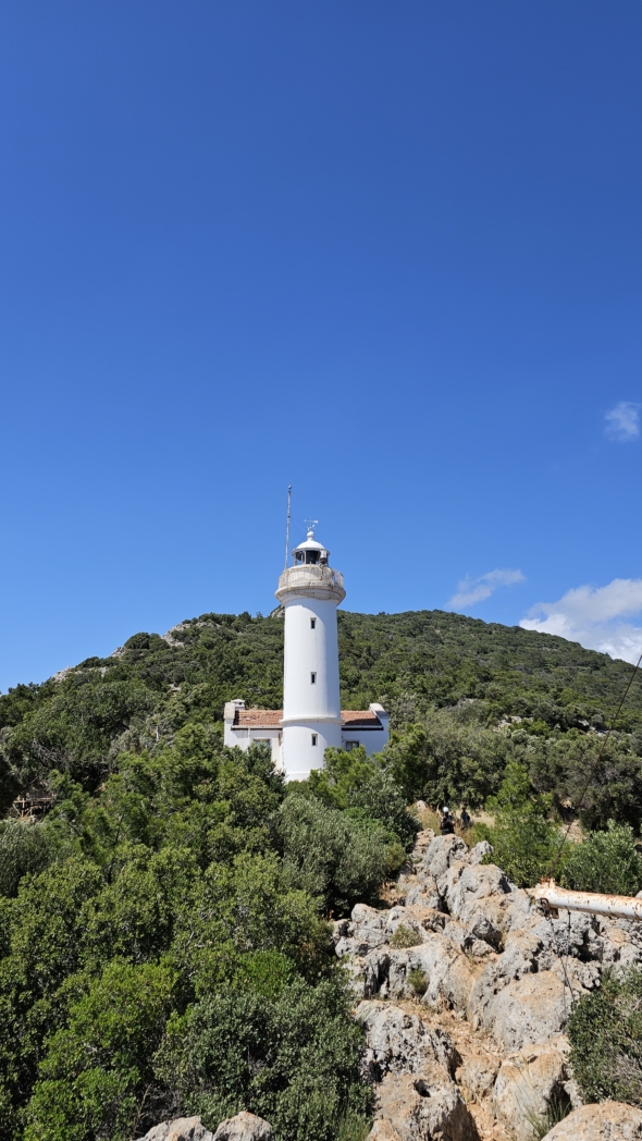
The lighthouse (Turkish: Gelidonya Feneri) stands on Cape Gelidonya, directly on the Lycian Way. For an out-and-back hike, you can drive to the trailhead south of Karaöz, walk along the coast to the lighthouse, and return the same way. The full linear hike from Karaöz via the lighthouse to Adrasan is considerably longer: approximately 22–24 km.
Starting South of Karaöz
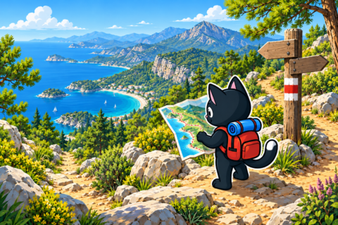
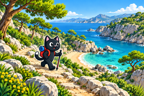
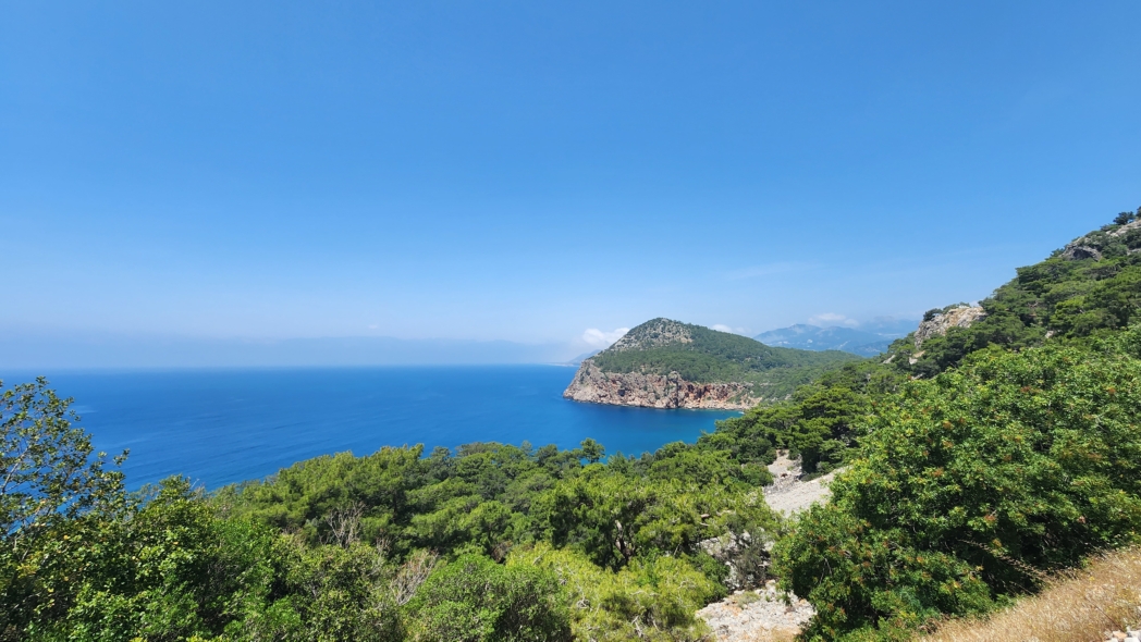
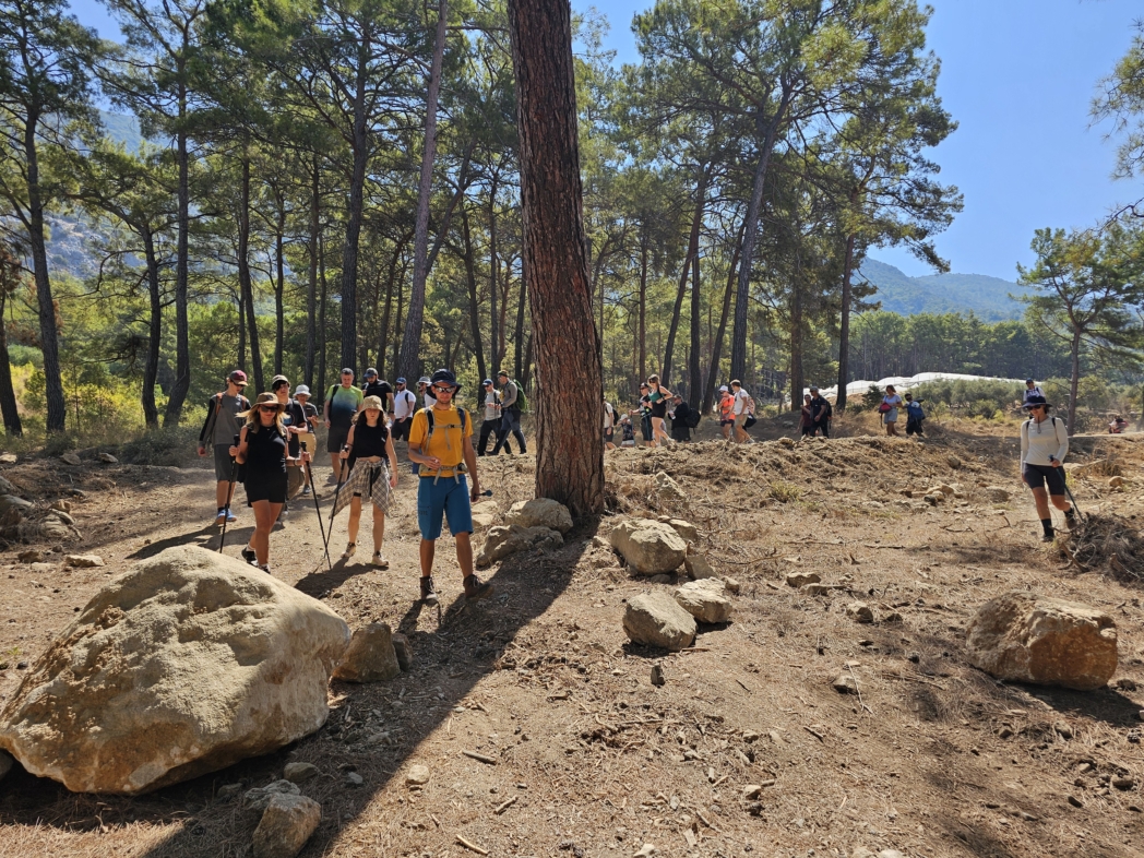
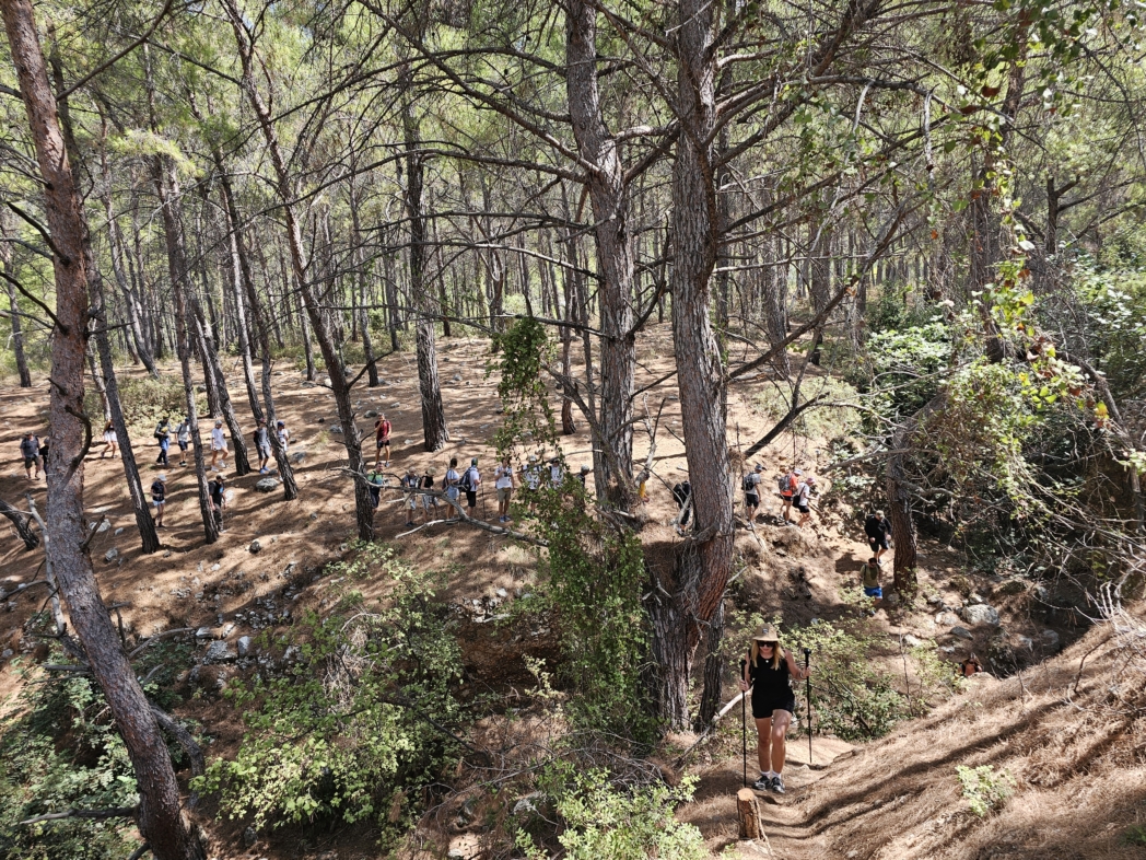
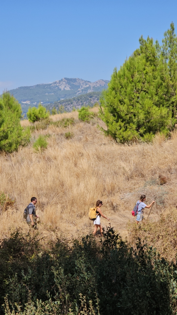
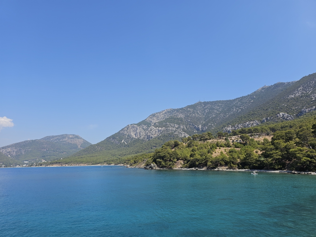
From Karaöz, the hike heads south along a dirt road beside the sea. If you drive to a starting point closer to the cape, the road section becomes shorter. The trail then passes through pine forest, past coves and several beaches. The sea remains close almost all the way, and the neighboring capes are clearly visible from exposed areas.
A gradual ascent begins before the lighthouse. The climb does not look steep, but you feel it by the end of a long day. It is best to compare the Lycian Way markings with an offline track, as there are junctions where forest roads meet.


Coast, Wind, and Waves
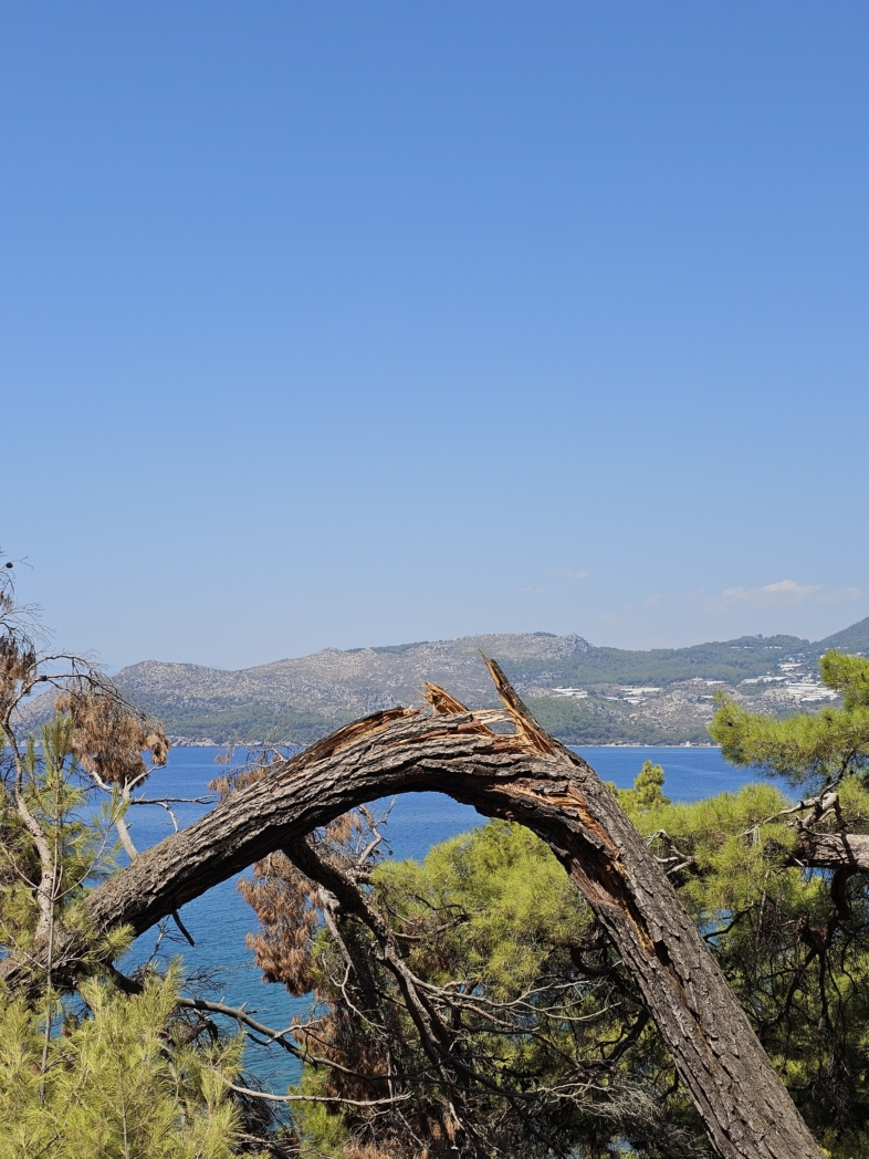
The hike is exceptionally scenic. The coastline changes constantly: forest gives way to exposed slopes, small beaches appear below, and new coves open up around each bend. The cape is often windy, and large waves near the shore are clearly visible from above.
Before setting out, check the wind as well as the general weather forecast. The wind is stronger and there is little shade on exposed sections. It is better to choose spring or late autumn for this hike.

The Lighthouse and Beş Adalar
The lighthouse is also called Taşlıkburnu, after Cape Taşlık Burnu. It stands above the sea within Beydağları National Park. From here, there is a view of Beş Adalar (“Five Islands”), a chain of five rocky islands south of Cape Gelidonya.
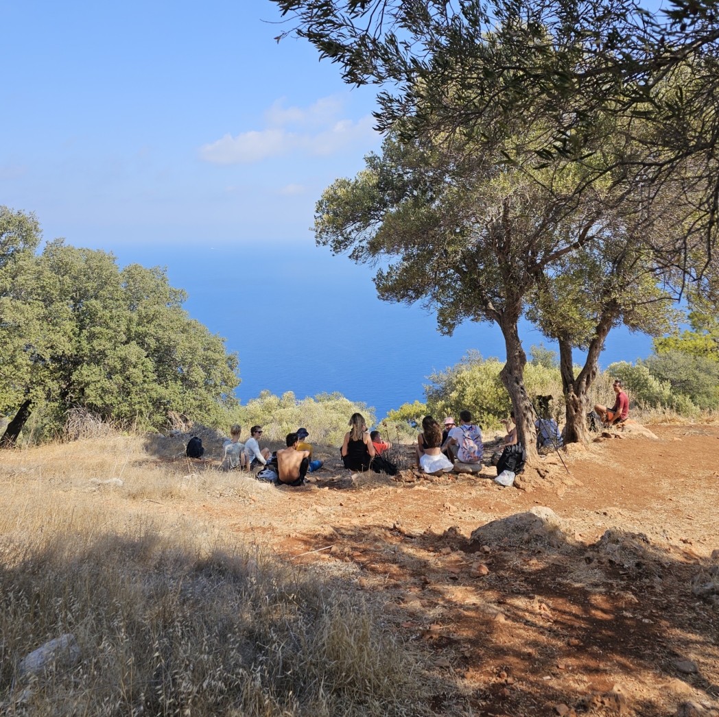
The lighthouse is a convenient place for a long break before the return journey. The area is exposed, so it quickly becomes cool in windy weather, even after a warm ascent.
Back the Same Way or Onward to Adrasan
The simplest option logistically is to return from the lighthouse to the car along the same route. If you continue along the Lycian Way, the trail follows the ridge, then descends through the forest and reaches Adrasan.
The complete hike from Karaöz via Gelidonya Lighthouse to Adrasan covers about 22–24 km, depending on the chosen start and finish points. It is a long, linear, full-day hike. If you start by car, it will remain in Karaöz, so a transfer from Adrasan must be arranged in advance.

Difficulty and Water
The main demands are the overall distance, the climb near the end of the hike, and the exposed sections. The length of the out-and-back option depends on the starting point, while the full hike to Adrasan requires experience with long day hikes.
Take water for the entire hike. Do not count on reliable water sources along the way. An early start, sufficient daylight in reserve, and a predetermined finish point are especially important for the full hike to Adrasan.

Our Hikes
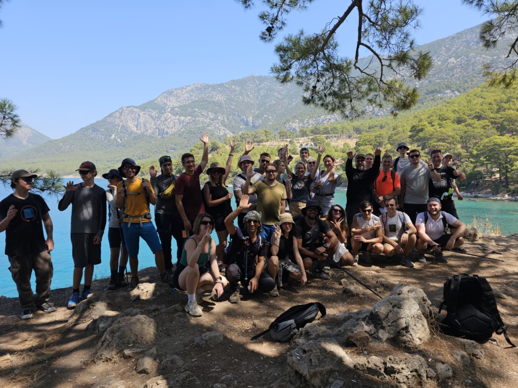
- May 14, 2023: a hike from Karaöz to Gelidonya Lighthouse, 20 km with 730 m of elevation gain.
- May 4, 2024: we repeated the hike in spring.
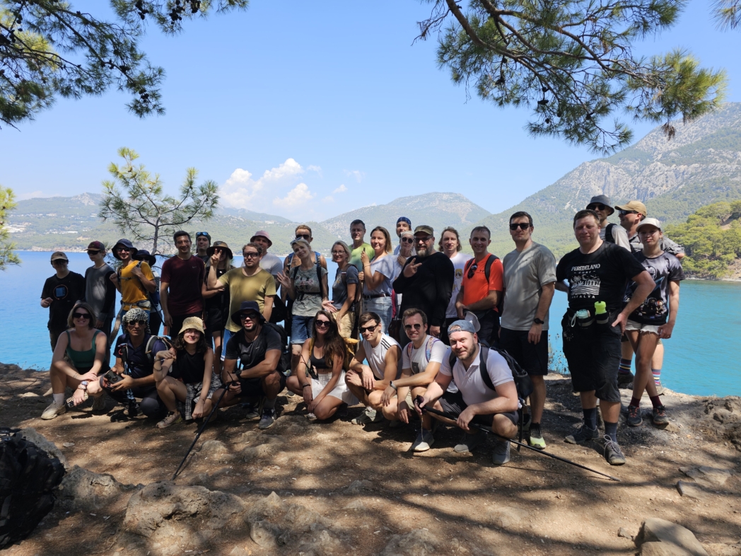
- September 8, 2024: we walked this hike again; the outing was difficult because of the heat.
Of the three outings, we enjoyed the spring hikes most. In cool weather, it is easier to cover the full distance, take a relaxed break at the lighthouse, and return before dark. We often encountered wind on the cape and saw large waves near the shore.


