From Tekirova (Turkish: Tekirova), you can follow the Lycian Way in two directions. A long coastal hike with wild beaches and a mountain trail heads west toward Çıralı. A short, easy section to Phaselis lies to the northeast.


Coastal Hikes
West: toward the “Tractor” and Çıralı
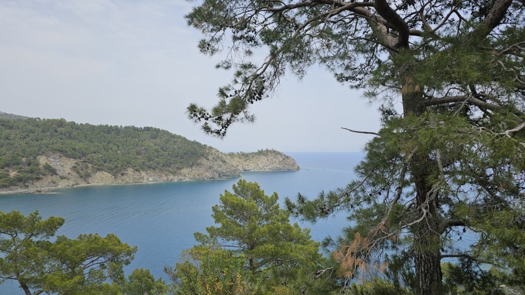
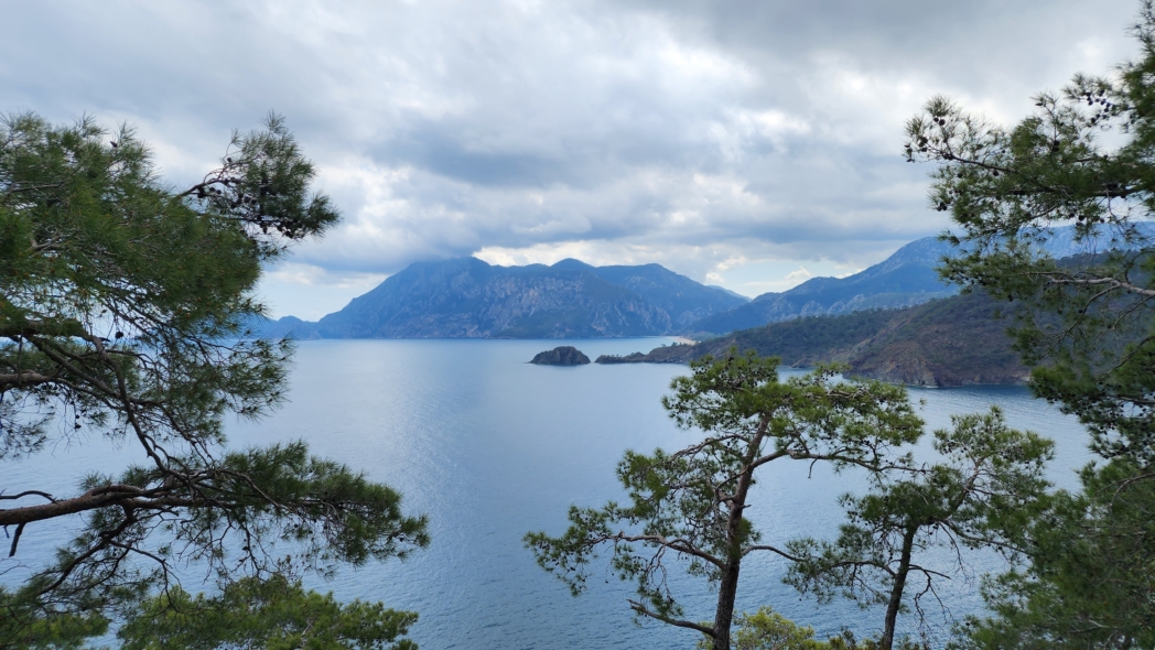
The complete hike from Tekirova to Çıralı follows the coast and covers approximately 21–22 km. This is a difficult, long, linear hike that requires a full day of walking. Several wild beaches lie along the way, and the hike remains close to the sea almost throughout.
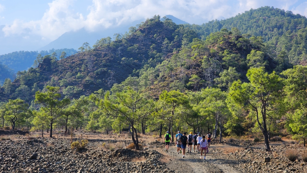
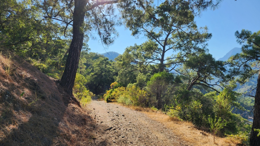
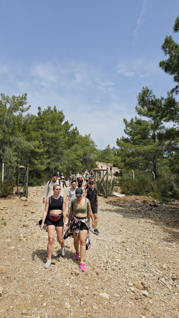
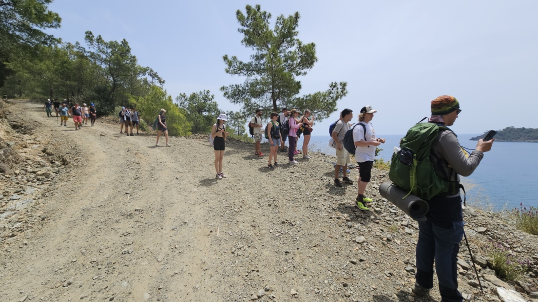
Approximately the first half follows a mountain road. A point we call the “tractor” lies near the middle, and beyond it a mountain trail continues toward Çıralı. Before setting out, check the distance and profile of your chosen track.

You can also walk from Tekirova to the “tractor” and return, completing a shorter circular hike. Another option approaches it from the north: a mountain road descends from the highway to the coast. For this linear descent, the drop-off point and return transport must be arranged in advance.

Northeast: toward Phaselis
In the other direction, you can follow the Lycian Way from Tekirova to Phaselis. The section is about 5 km long, technically easy, and suitable for a short walk. Allow separate time to explore the ancient city and check the current admission rules.

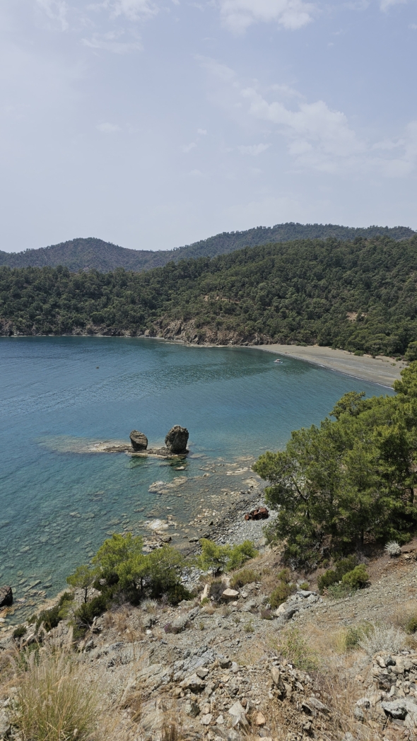
Wild Beaches
On the western hike, the trail reaches several places where you can stop by the water. Swimming provides a pleasant break, but wet clothing and a long rest reduce your pace on the remaining section. It is best to include time at each beach in the plan, especially for the full hike to Çıralı.
Heat, Water, and Pace
A summer hike by the sea is still a proper hike. Exposed sections heat up, and after swimming it is easy to underestimate the remaining distance. Take enough water for the entire hike unless resupply points have been confirmed before setting out.
An early start leaves time in reserve for beach stops. During the first third of the hike, compare your actual speed with the estimate and shorten the option if necessary. If too little of the distance has been covered by midday, continuing on the long hike will push the finish into darkness.


Our Hikes
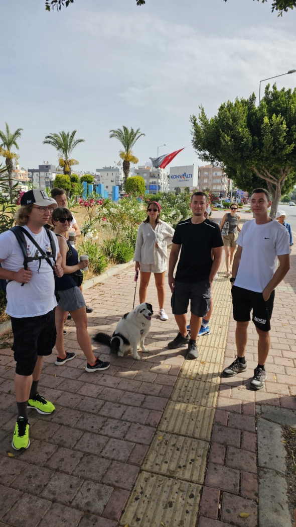
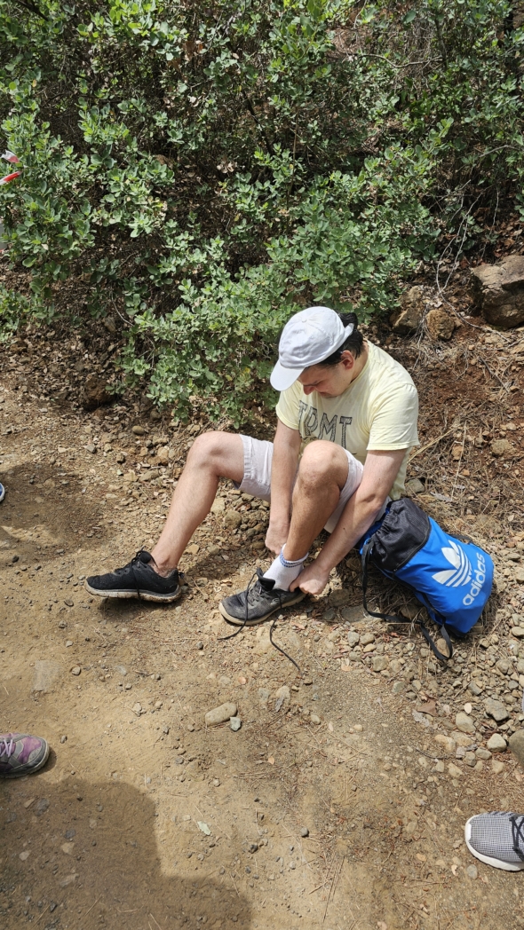
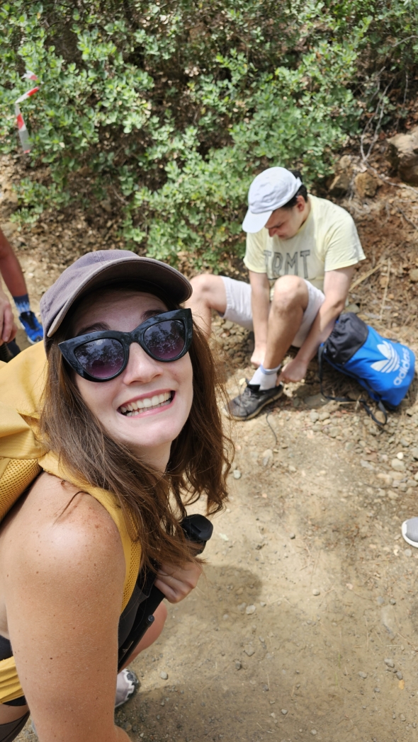
- June 25, 2023: a beach hike near Tekirova, 28 km long.
- August 27, 2023: a second summer hike along the coast, 19 km with 690 m of elevation gain.
- May 19, 2024: 13.5 km around the area, with 480 m of elevation gain.

Our outings were separate hikes around the area, ranging from 13.5 to 28 km. Use the specific distance from your chosen track, and before starting, make sure that the particular coastal passage you selected is open.


